Alaca
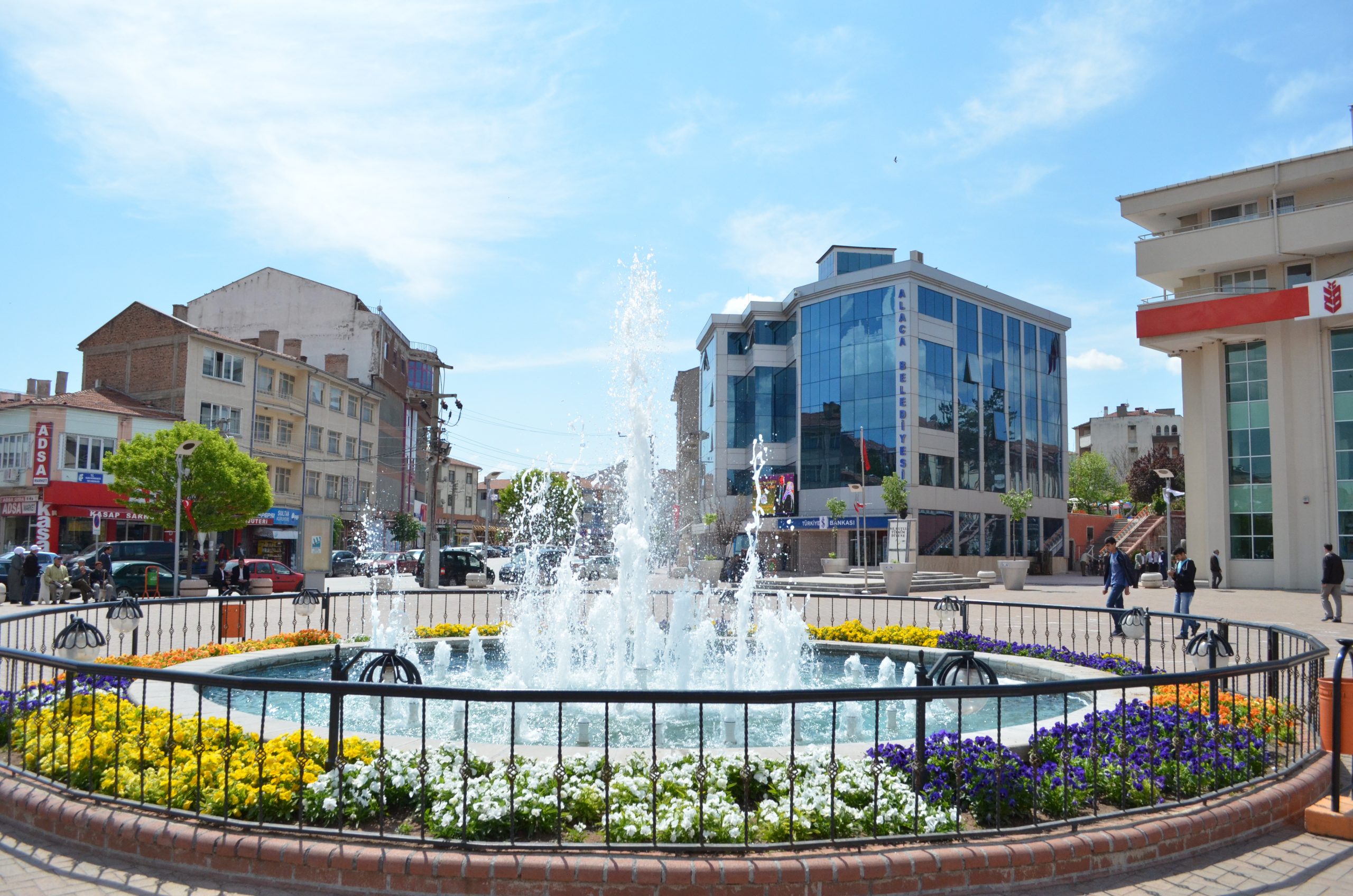
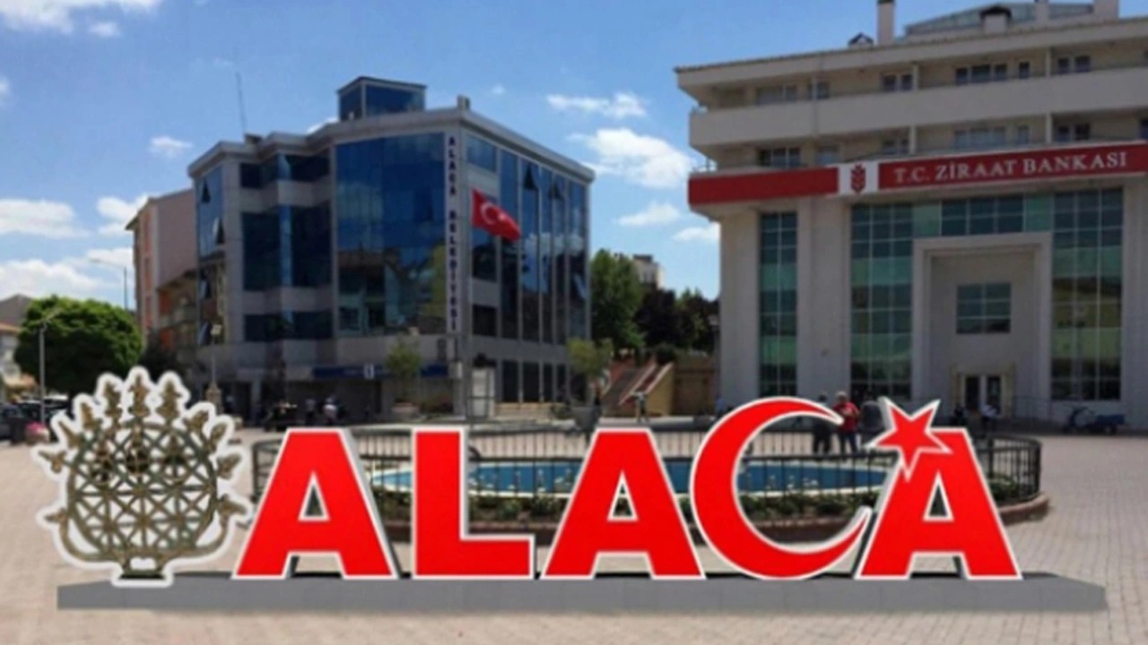
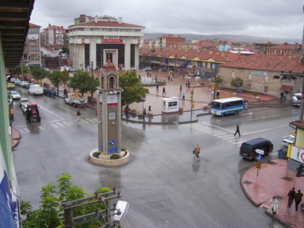
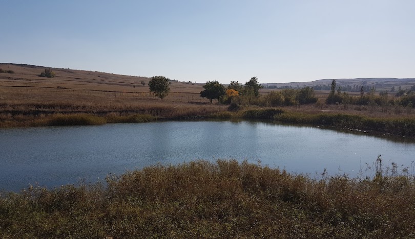
The history of Alaca District dates back to BC. It dates back to 5000 years ago. In ancient times, the area where the district center was located was called "Etonia". XIX. and XX. In the 19th century, instead of the local name Hüseyinova, Alaca, which was previously a sub-district in the definition of township and sub-district name, became a district in 1919 with the name Hüseyinabad, and the name Alaca became official in 1932. The district's surface area is 1,346 km² and its altitude is 950 m. It is 52 km from Çorum, 53 km from Yozgat, and 43 km from Sungurlu. The district's summers are hot and dry, and its winters are cold and rainy. The average annual rainfall is 376 mm. Since the district was established on the road connecting the Black Sea and the Mediterranean, the economic life is quite lively. The district's economy is largely based on agriculture. Agricultural areas are 100,065 hectares, of which 20,558 hectares are irrigated agricultural land. Major agricultural products; Wheat, Barley, Corn, Chickpeas, Lentils, Sunflower, Sugar beet, Onion, Dried Beans, Potato. Viticulture, vegetable growing and fruit growing are also practiced, although to a lesser extent. According to 2002 data, there are 13,762 cattle and 13,620 small cattle. In recent years, facilities aimed at industry have also been opened. There are ten flour factories and one feed factory in the district. There are workshops that produce furniture. Approximately two hundred people earn their living in these workplaces. Drinking water and sewerage are sufficient in the district centre. Electricity, water and telephone are sufficient in the villages, and mains water is available in all villages except 4. There is no sewerage. There is transportation to all villages. 136 km in 31 villages. asphalt road, 298 km in 59 villages. stabilized road, 36 km. A total of 470 km, including graded. There is a village road network. In the 2000 General Population Census, there was a total population of 53,193, including the district center of 24,983 and the towns and villages of 28,210. There are 94 villages and three towns in the district, seven in the district centre, four in Alacahöyük town, two in Büyükhırka town and two in Çopraşık town. As formal education institutions in the district, there is a General High School, an Imam-Hatip High School, a Multi-program High School, an Anatolian High School, a Vocational High School for Girls, a Health Vocational High School and 19 primary schools, 10 of which are in the district center, and 32 primary schools with multi-grade classes in the villages. It has a school. There are a total of 9,729 students in these schools. There is a stadium with a capacity of 3,000 people in the District Center, an indoor sports hall with a capacity of 500 people, a 50-bed State Hospital, two Health Centers, and one Health Center each in Alacahöyük Town, Büyükcamili, Büyükhırka, Sarısüleyman, Sincan and Tutaş villages.


Leave Your Comments