Arpaçay
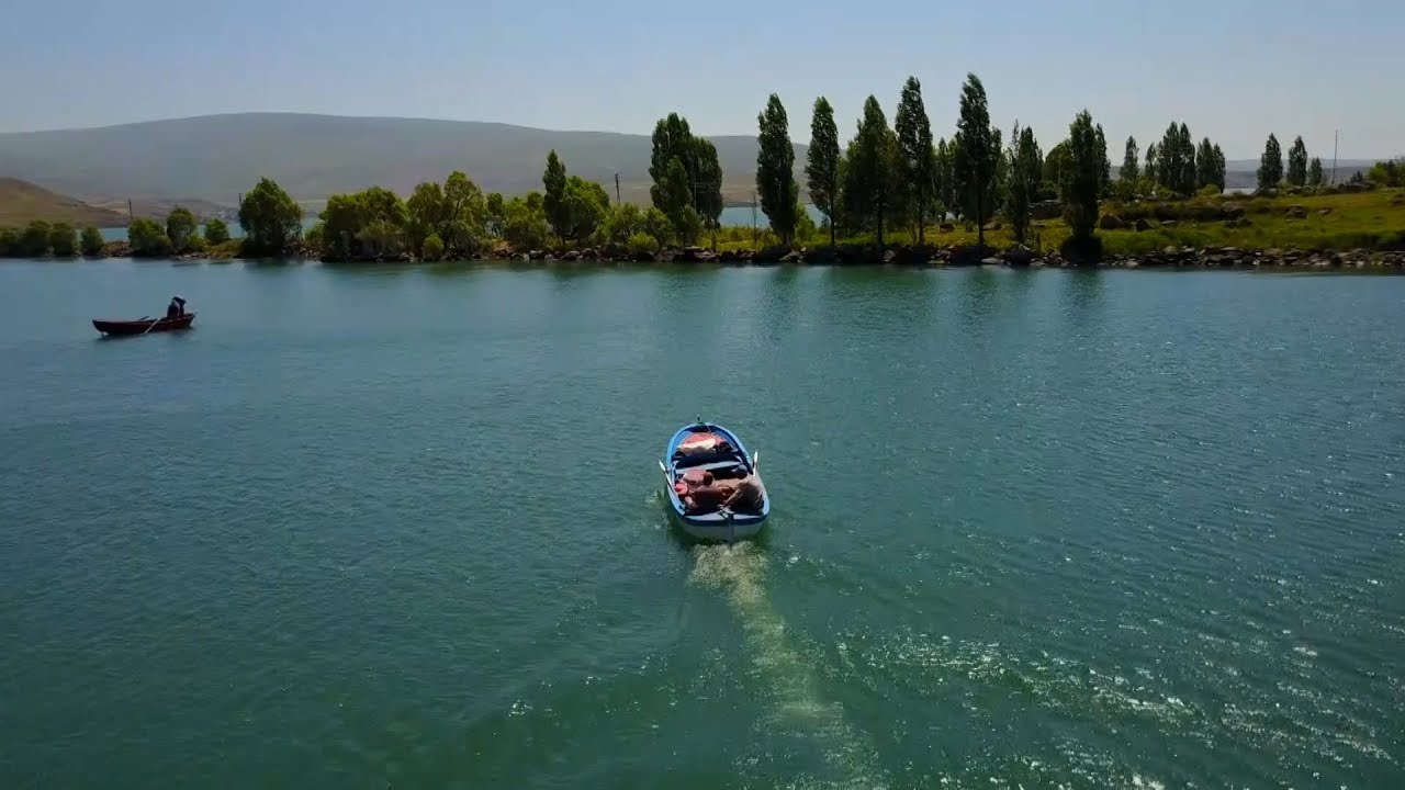
It is the name given by the merger of Şöregel (Kızılçakçak) and Zarşat (Arpaçay) districts, which were merged in 1927, and was influenced by the Arpaçayı passing through the east of the district. Azeris and Karapapaks (Terekemeler) from Azerbaijan and the Caucasus, Natives from around Kars and later Kurds from Yerevan (Revan) settled there; Although they adhere to their own customs and traditions, they have achieved harmony among themselves. Arpaçay District has Armenian territory and Akyaka District in the east, and Kars Province in the south; It is surrounded by Çıldır District in the north and Susuz District in the west. The border length with Armenia is 10 km. The area of the district is 605 km² and its altitude is 1675 meters. The terrain is slightly undulating and there are small hills. Apart from the Kars Stream passing through the district borders, there is Carcı water flowing from Çıldır Lake, some of which remains within the district borders. Its climate shows continental character. The average temperature in summer is 19.7 °C, and in winter it is -4.3 °C. The average snow depth in snowfall is 42 cm in the district center, and the rain falls between 30-40 kg per m². According to the results of the 2020 Address-Based Population System (ADNKS), in Arpaçay, where a total of 16,276 people live, 2,384 of the population live in the district center and 13,892 live in the villages. When we look at the distribution of the population by gender, it is seen that the total male population is 8,404 and the total female population is 7,872.


Leave Your Comments