Bahçelievler
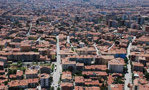
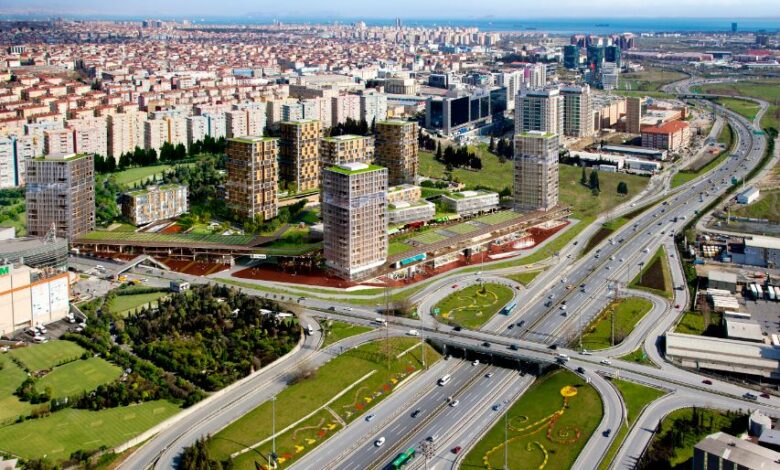
Bahçelievler is a district of Istanbul province. On the European side, it neighbors Bakırköy from the south, Küçükçekmece from the west, Bağcılar from the north and Güngören from the east. It separated from Bakırköy and became a district in 1992. It consists of 11 neighborhoods: Bahçelievler, Cumhuriyet, Çobançeşme, Fevzi Çakmak, Hürriyet, Kocasinan, Siyavuşpaşa, Soğanlı, Şirinevler, Yenibosna, Zafer and Bahçelievler. There is no sub-district or village within the district. Until the 1950s, there were Kocasinan and Yenibosna villages in the area where Bahçelievler district is located today. The section where Bahçelievler is located was formed by the growth of Bakırköy towards the north of the O-1 highway (former E-5). The population of Bahçelievler, like the population of its neighboring districts, has increased rapidly since the 60s. The population, which was 8,500 in 1960, increased to 20,881 5 years later in 1965. In 1975, the population of Bahçelievler exceeded 100 thousand.


Leave Your Comments