Boyabat
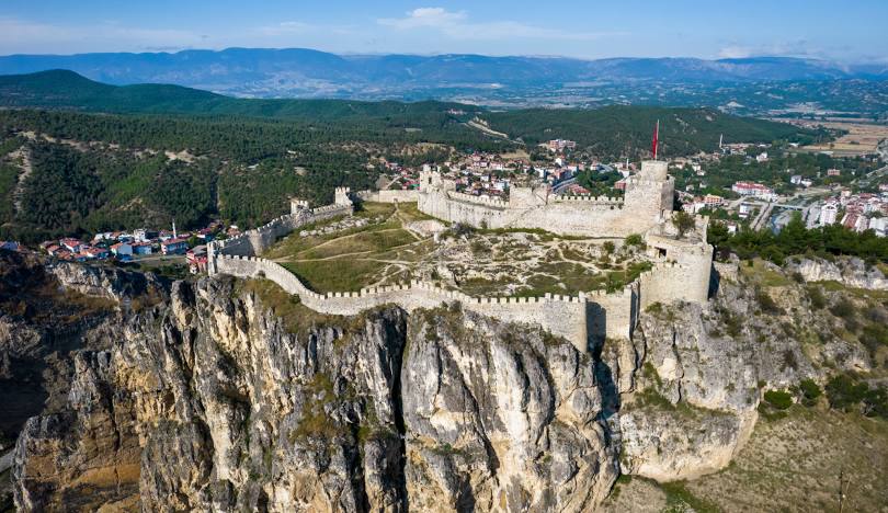
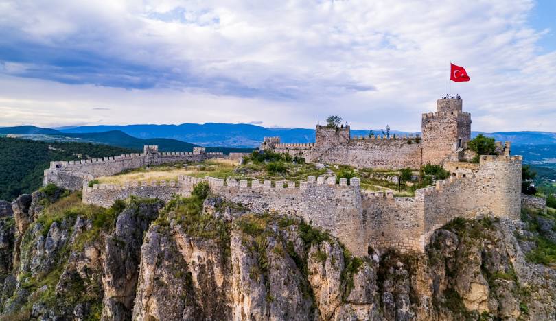
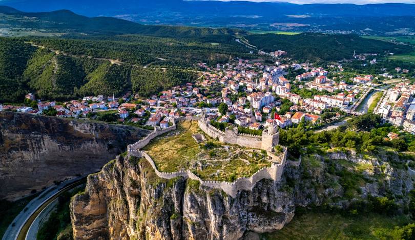
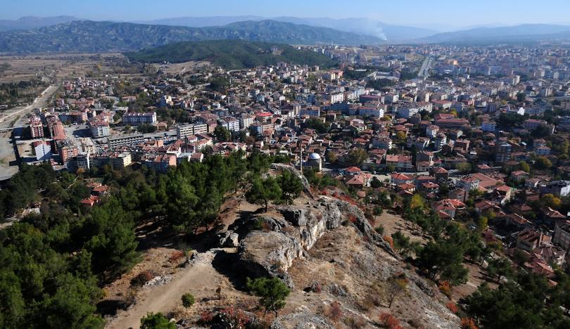
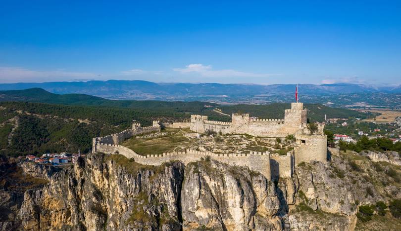
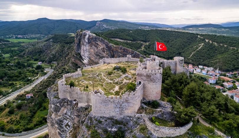
Boyabat is a district of Sinop province, located in the Black Sea Region of Turkey. Its name (Boy-Abat) means wide, flat, well-kept land. Height, height, tribe, ancestry, clan; Although abat means proud or built, it is thought that its name was settled as Boy-Abad because it was once a "Serhat tribe castle" on the border of the Islamic and Christian worlds. According to another rumor, its name means "long plain". It is thought that the district was founded around 600 BC. It is estimated that the first people to establish the district were the Kashkas. Boyabat came under the rule of Gashka, Hittite, Paphlagonia, Lydia (590 BC), Persia (548 BC), Macedonia (330 BC), Pontus (300 BC), Rome (60 BC), and Byzantium (390 AD). It served as the western border of the Kingdom of Pontus between 300 BC and 60 BC, but later served as the western border of different Greek and Macedonian states and later the Roman Empire, and is estimated to have been built at that time on a large rocky hill overlooking the city. It has contributed greatly to the increase and development of the city's importance over time. Boyabat was first captured by the Turks after the Battle of Manzikert in 1071. It came under the protection of the Ottoman Empire when Fatih Sultan Mehmet took over the Greek Empire of Trabzon. It became the largest district of the city by being connected to Sinop, which became a province in 1924.[3] There are many works from the Ottoman Empire in the district: Akmescit Mosque, the madrasah in Çay District, which is currently in ruins, Daylı Tomb, Aşıklı Tekke Tomb, Grand Mosque, Bekir Pasha Water Canal. While it became a district of Sinop province during the Republic period, it continues to develop rapidly.



Leave Your Comments