Çamaş
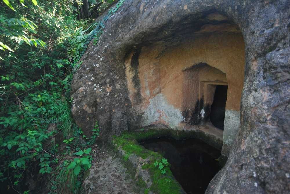
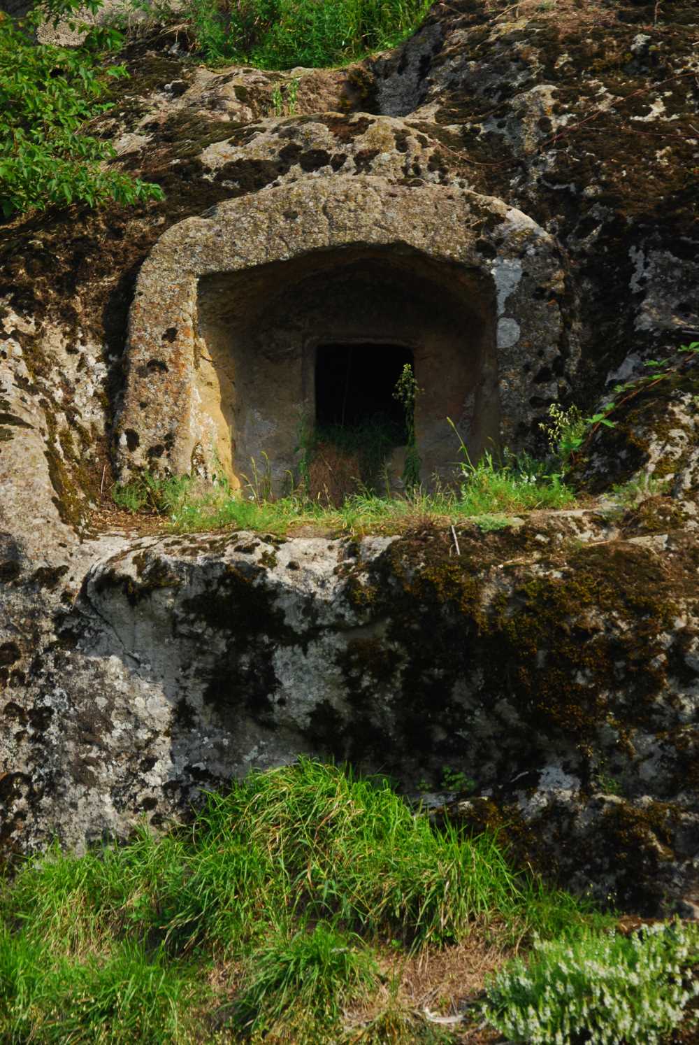
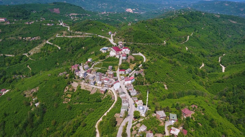
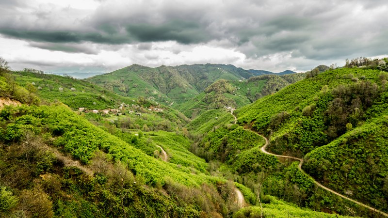
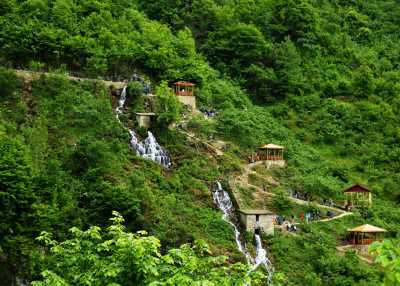
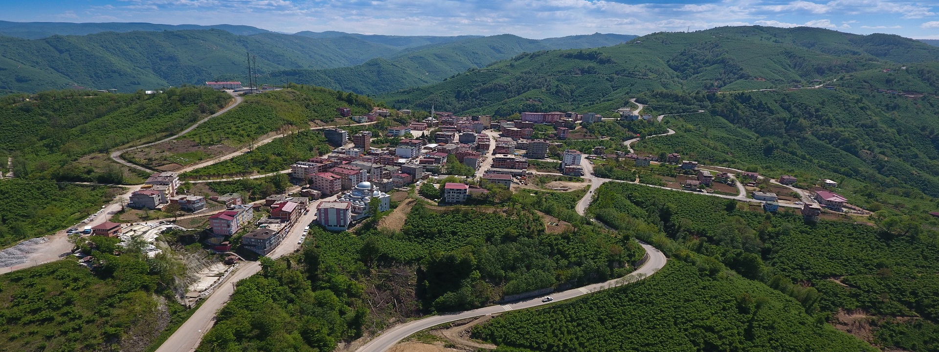
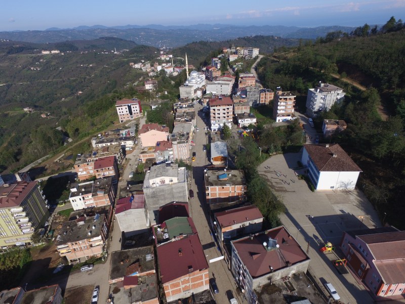
Çamaş is a district of Ordu province. Sarıçiçek Plateau and Gelin Kayası are important points. The main source of income is hazelnut production. The nearest district is Fatsa, 20 km away. The distance to Ordu city center is 50 km. Çamaş and its surroundings are an old settlement area of Ordu Province. It is known that the history of Çamaş region dates back to the 3rd century BC. The name Çamaş was given after the name of Mehmed Çamaş Bey, who is known to have been the Tımar Principality in the region before 1485. In the post-Danişmentli Principality period, the name Çamaş Bolaman Subdistrict is encountered in the administrative organization records of the Ottoman State among the Çarşamba, Ulubey, Hapsamana and Aybastı subdistricts of Ordu Province. In the Ottoman archives of the 1800s, Hacı Alizadeler (Çamaş Family), descendants of Mehmed Çamaş Bey, have a say in the management of the region. There is information that Hacı Alizade Hasan Ağa was the people's representative and Hacı Alizade Mehmed Bey was the District Manager. Later, Çamaş, together with Bolaman, was administered from a center called "Çamaş Bolaman Subdistrict" until 1850. Recently, as the Ottoman Timar system was disrupted, it was replaced by the Iltizam system. As understood from a record from 1908, the tithe tax of Çamaş and 12 villages affiliated with it was collected by the evil gentry Hacı Alizade Osman Ağa and Hacı Alizade Abdullah Beyler. In these records, the titles of Osman Ağa and Abdullah Bey are stated as Çamaş District Aşar Mültezimi. Cevat Bey Mansion, the largest mansion in Ordu, was built by Hacı Alizade Osman Ağa. The Historical Külekçi Mosque, also built in 1811, was also built by Hacı Alizadeler. In 1930, Çamaş became a separate subdistrict and was connected to the central district of Ordu. In 1944, it became a town by being connected to Fatsa district with its villages. In the region within the borders of today's Çamaş district, Çamaş Sarıyakup Village Municipality was established in 1971, and Çamaş Municipality was established on February 14, 1975. On March 17, 1985, both municipalities were merged under the name of "Çamaş Municipality", and then it became a district under the name of Çamaş District with the Law No. 3644 dated May 9, 1990, published in the Official Gazette No. 20423 dated May 20, 1990. Current Population (2014) is 10,403. The terrain of the district is very rugged. The settlement is scattered. Therefore, there are great difficulties in providing state services. The district, which consists of 7 villages and 16 neighborhoods, has a total population of 13,787, including 10,177 neighborhoods and 3,610 villages, according to the 2000 census. Çamaş, which is 20 km away from the sea, is surrounded by Fatsa district to the east and north, Çatalpınar district to the west, and Gürgentepe district to the south. The average altitude is 550 meters. The overall surface area of the district is 81,180 km². Although the economy of Çamaş is largely dependent on hazelnut farming, a significant part of the local people earn their living by working in the domestic and international construction sector. Due to the reasons arising from the insufficiency of the agriculture-based economy, migration to industrialized cities has accelerated in recent years and a tendency to decrease in the population has emerged.




Leave Your Comments