Çaybaşı
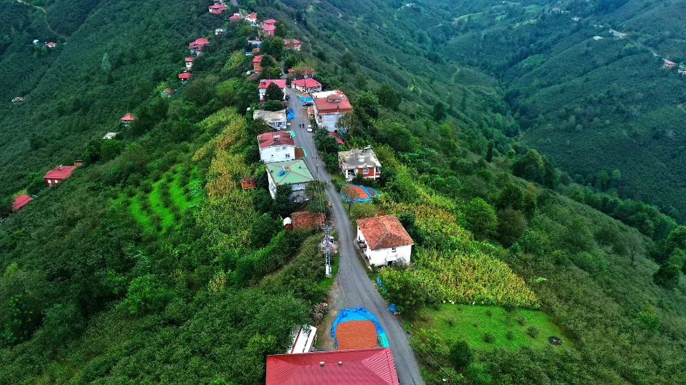
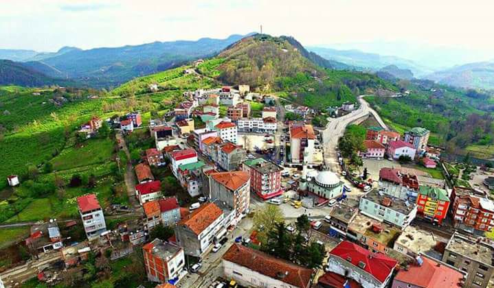
Çaybaşı is a district of Ordu province and the center of this district. The old name of the settlement, which is called Çaybaşı today, is Çilader. As a matter of fact, it is mentioned as Çilader in the Ottoman village list dated 1928. Meanwhile, Çilader, a village, was connected to the central township of Ünye district of Ordu province. In the 1935 general census, the population of the village, which had the same administrative location, consisted of 586 people. Çilader was attached to Tekkiraz subdistrict as a village in the 1950 general census. During this period, Ünye district consisted of Karakuş, Tekkiraz and the central townships. While the population of Tekkiraz sub-district center consisted of 478 people, 896 people lived in Çilader village. Çilader, written as "Ciladere" in the general census held five years later, was also a township comprising 20 villages. Some villages of Tekkiraz township were connected to Çilader township. Meanwhile, since Karakuş was a town named Akkuş, Ünye township consisted of Çilader, Tekkiraz and central townships. The population of Çilader, the town center, consisted of 946 people. The total population of Çilader township included 18,982 people. The name of the town center, Çilader, was changed by law to Çaybaşı in 1959 on the grounds that "it was of foreign origin and caused confusion". As a matter of fact, while the sub-district center was recorded as Çaybaşı (Çilâder), the name Çilader was preserved as a sub-district. In the 1965 general census, the sub-district was written as Çaybaşı and the center of the sub-district was written as Çaybaşı (Cilader). Çaybaşı became a town by receiving municipality status on 20 August 1971. By 1975, the sub-district center, Çaybaşı, was a place with a municipality and a post office. Its population consisted of 2,305 people. There were 28 villages within the borders of Çaybaşı sub-district, and the total population of these villages consisted of 34,240 people. The largest settlement in terms of population in Çaybaşı sub-district was Yogunoluk village and 3,586 people lived in the village. While Çaybaşı was a sub-district of Ünye district, it became the district and district center in 1990. Meanwhile, Çaybaşı district included nine villages: Akbaba, Devecik, Eğribel, Göksü, İçerübükü, İlküvez, Kapılı, Köklük and Kurudere. The population of the district center consisted of 6,526 people, and that of the district consisted of 15,195 people. Çilader district has Ünye district in the north and east, İkizce district in the west, and Akkuş district borders in the south. Its surface area is 165 km². The district center is located on the rising land between the Akçay and Cüri rivers. In the region, the land rising towards the south is dominated by flat topographic forms.


Leave Your Comments