Çelikhan
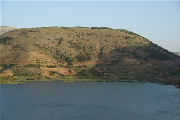
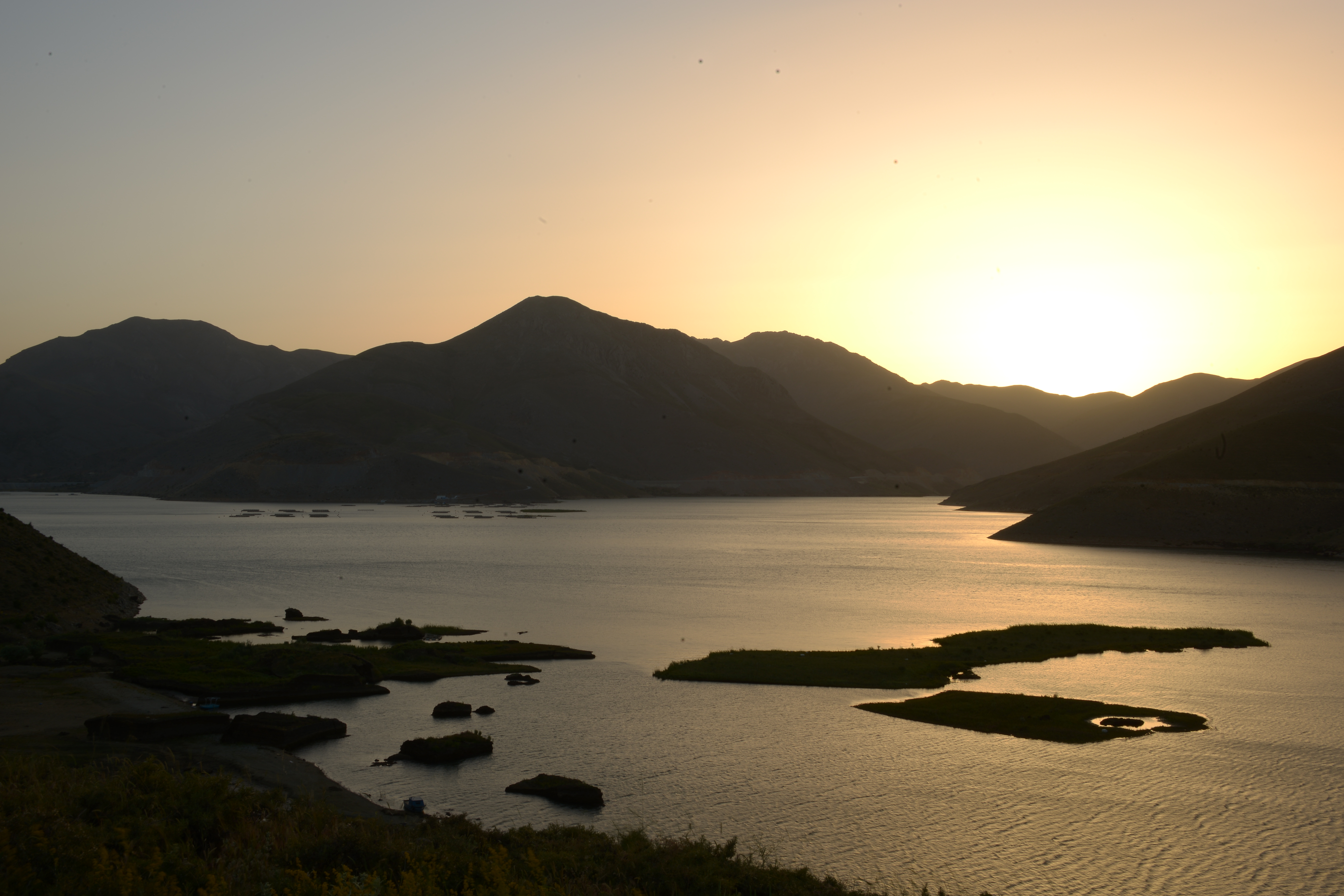
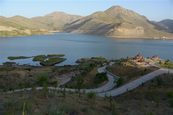
Çelikhan District is surrounded by Sincik in the east, Doğanşehir district of Malatya in the west, Adıyaman center in the south, and Yeşilyurt district of Malatya province in the north. Çelikhan District is 56 km from Adıyaman and 45 km from Malatya. It is a district established between the high mountains, which is the continuation of the Southeast Taurus Mountains between Malatya and Adıyaman. The altitude of the district center is 1388 m. The structure of the district is mountainous and rugged. The highest mountain of the district is Akdağ and its altitude is 2700 m. The most important streams are Bulam and Abdulharap Streams. The Çat dam was built on the Abdulharap stream. Çelikhan's first name is known as Komir. After the Republican Period, this name was changed to Çelikhan. The settled population of Çelikhan consists of the Turkish tribes of Hamkoda, Perta, Sisa and Tilla. Çelikhan remained under the rule of Hittite, Assyrian, Persian, Macedonian, Seleucid, Roman and Byzantine states as in the Adıyaman region. Hz. During the time of Omar, it was captured by the Arabs and connected to Keysun. Although it was taken back by the Byzantines in 949, after the Manzikert Victory in 1071, Çelikhan region, together with Malatya and Adıyaman provinces, passed into the hands of the Seljuks. In 1391-1389, the Ottomans under the command of Yıldırım Beyazıt took this region from the Mamluk beys, but a few years later, the region came under the rule of Timurid armies. At the end of the Koçhisar War in 1516, the region was included in the Ottoman lands by Yavuz Sultan Selim when Dulkadiroğulları joined the Ottoman Empire. Today's Çelikhan region was connected to the province of Mamurat-ül Aziz, whose center is Harput, as a result of the judicial, military and civil reforms made after the 1839 Tanzimat Edict. (At this date, Malatya was one of the three sanjaks of the Mamurat-ül Aziz province.) In 1864, when large kadıs became districts and small kadıs became sub-district directorates with the regulation on the establishment of provinces, a sub-district directorate named “Ortaköy” was established. After this date, it has taken the position of a settlement connected to the Akçadağ district of Malatya, formerly called Arga. Çelikhan, which was affiliated to Akçadağ until 1927, was affiliated to Koçali Subdistrict Directorate between 1927-1931. In 1931, a sub-district directorate was established under the name of Çelikhan. Çelikhan suffered great destruction in the earthquake of 1869, and many houses were destroyed around the Central Mosque. On the other hand, in 1934, with the outbreak of a contagious, epidemic disease called "Mitik" among the people, many people died in Çelikhan, and many families had to migrate to the surrounding provinces and districts. Çelikhan, which was established as a district of Malatya in 1954, was later connected to the province of Adıyaman, which was established together with the districts of Besni, Gerger, Gölbaşı and Kahta with the law dated 14 June 1954 and numbered 6418. The people of the district earn their living from agriculture and animal husbandry. However, due to the rugged nature of the region, the areas suitable for agriculture are quite limited. In addition, tobacco, fruit and vegetable farming are carried out. There are 1 Town (There are 8 Neighborhoods in the Town), 20 Villages and 9 Neighborhoods affiliated to the Center of Çelikhan District. In terms of tourism in the region, there is Beypınarı recreation area at the 5th km of Çelikhan-Adıyaman highway, Havşeri Spring, Zerban Water, Recep Stream, Jari Plateau, Koyunpınarı Plateau and Çat Dam in Çelikhan District.


Leave Your Comments