Digor
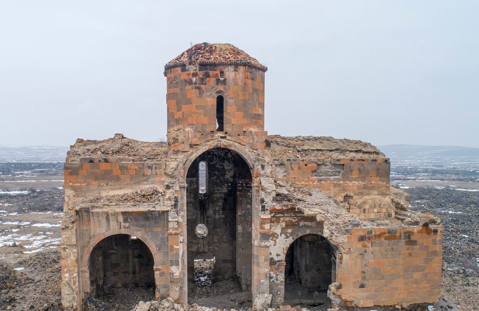
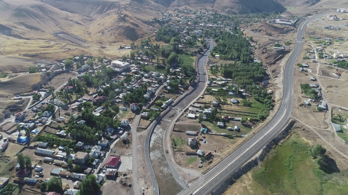
The district lands are located at the eastern end of the Erzurum-Kars plateau. The district is rugged by the mountains connected to the fold system in the northern half of Anatolia. In the southwestern part, an undulating area extends from the foothills of the volcanic Yağlıca Mountain (2,961 m) towards Arpaçay. This area is bordered by the 2000 m high Başköy Plateau (Nakhchivan Pit) in the south. To the northwest of Yağlıca Mountain is Hacıhalil Mountain (2,366 m). The district's lands are irrigated by Arpaçay and Digor Stream, which originates from Dumanlı Mountain and then merges with Arpaçay. There are also plains on the valley floors of these rivers. The district, which is 1,450 meters above sea level, has a surface area of 1,136 km² and a total of 24,863. It is known that the current town of Digor was settled under Russian rule in the 1880s. However, Tekor Basilica, which has now been destroyed in the town, shows that there was an important settlement here in a much earlier period. Tekor Basilica was built around 480. It has historical importance as it has the oldest known Armenian inscription and is the oldest domed Armenian church surviving in the modern period. The church, which was damaged in the 1912 earthquake, was demolished by official authorities in the 1960s and the Digor town hall was built with its stones. Digor was affiliated with Zaruşad (Arpaçay) during the Russian rule. As a result of the Treaty of Gyumri signed in 1920, Digor joined the territory of the Republic of Turkey. It remained as a township within the Kağızman district for a while, and was made a district in 1953 with the law no. 6068.


Leave Your Comments