Gevaş
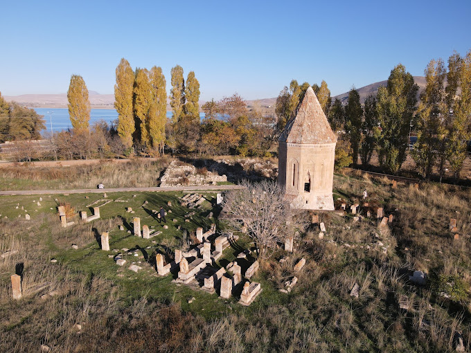
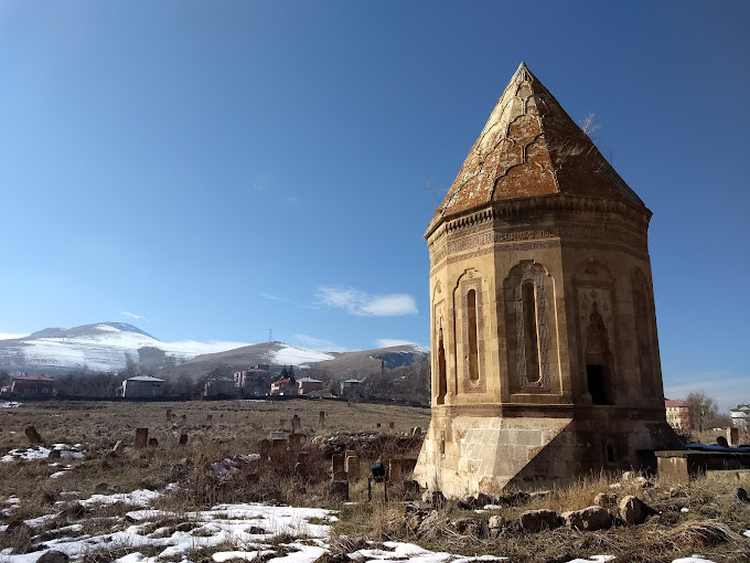
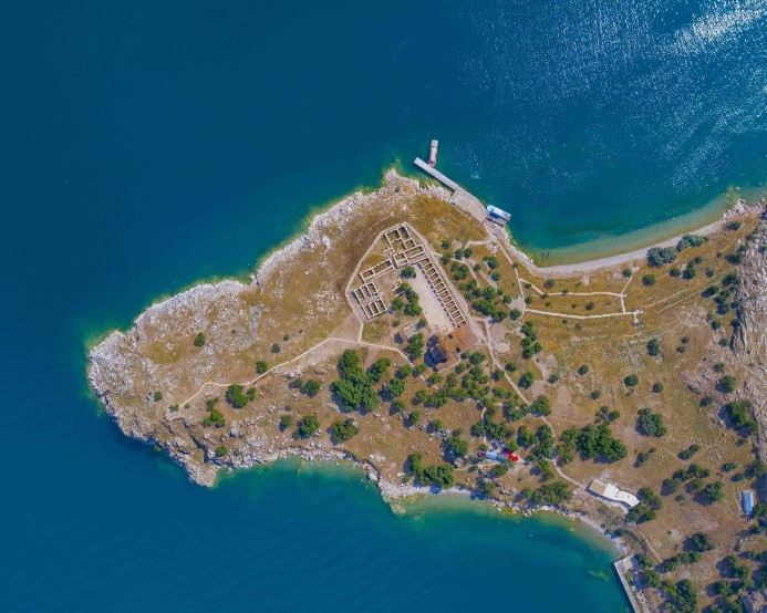
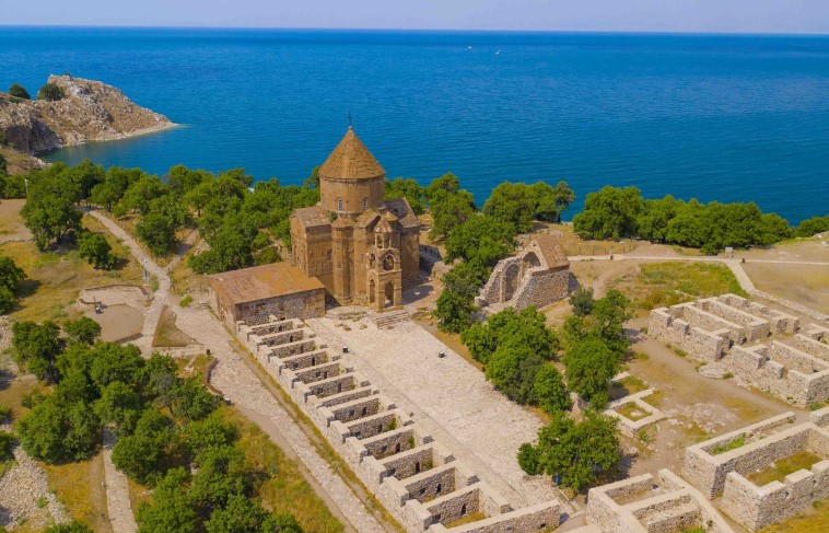
Its surface area is 727.5 km² and its altitude is 1750 meters above sea level. The district was established at the foot of Artos Mountain (3650 m), the highest of the Kavuşşahap (İhtiyarşahap) mountains, which is an extension of the Southeastern Taurus Mountains. It has Gürpınar in the east, Hizan and Tatvan (Bitlis) districts in the west, Van Lake in the north, Edremit in the northeast, Çatak in the south, and Bahçesaray districts in the southwest. The distance to the city center is 40 km. Akdamar Island within its borders is the most important tourist attraction of the district. The fertile valley where the district center is located has been the scene of dense settlement since the Urartian period. In old sources, the name of the town is mentioned as Vostan, Vastan and finally Vestan (since 1960). The old city, located opposite the Aghtamar Island, about 20 km west of today's district center, gained importance as the residence of the Iranian military governors (vostikan) who ruled Eastern Armenia, which came under the rule of the Sassanid State in 421 AD. After the Sassanid State came under Islamic rule in the 7th century, the Rshtuni principality of Armenian origin ruled in Vostan. In 705, after the alliance of other Armenian lords and the murder of Vart Rshtuni, the region came under the control of the Ardzruni dynasty originating from Başkale (Ağbak). In 908, Gagik Ardzruni I was crowned "King of Armenia" in Vostan with the support of some Arab lords, but later moved his residence to the new town he built on Aghtamar Island. The Ardzruni principality, which dominated the Southern and Eastern shores of Lake Van, continued its existence until it was liquidated by the Byzantine Empire in 1021. The situation of Gevaş in the first two centuries after the Turkish conquest is dark. There is data that the town was moved to its current location in 1264 or 1297 during the Mongol rule. The town became the capital of İzzeddin Şîr (Kurdish: Yezdan Şêr), who established a powerful principality in the region including Hakkari and Van in the 1380s. İzzeddin Şir, who defended Van Castle against Timur in 1386, later continued his principality as dependent on Timur and Karakoyunlu respectively. Celme Hatun Tomb (or Halime Hatun Tomb), the most important historical monument of the town, belongs to İzzeddin Şir's wife, who was from the Karakoyunlu dynasty.


Leave Your Comments