Gölhisar
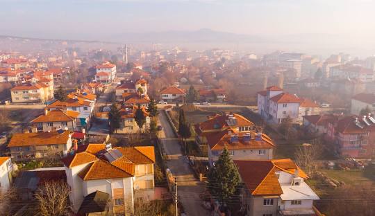
Gölhisar is the second largest district of Burdur province. It is also called the Land of Highlands.
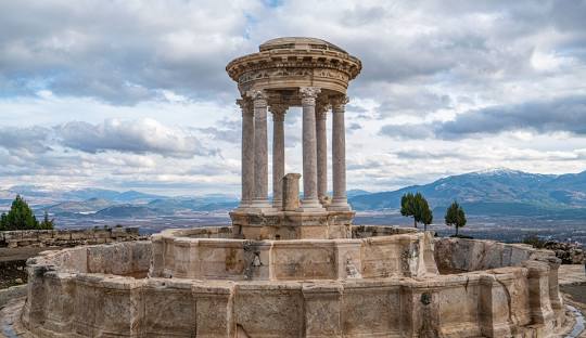
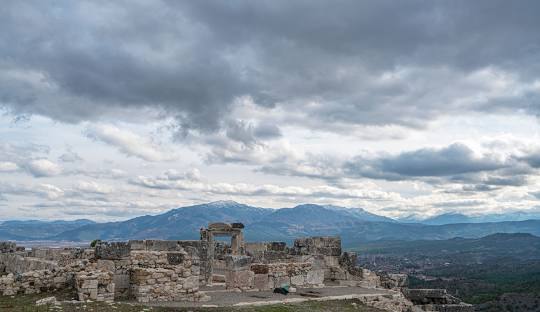
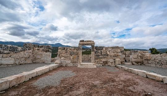
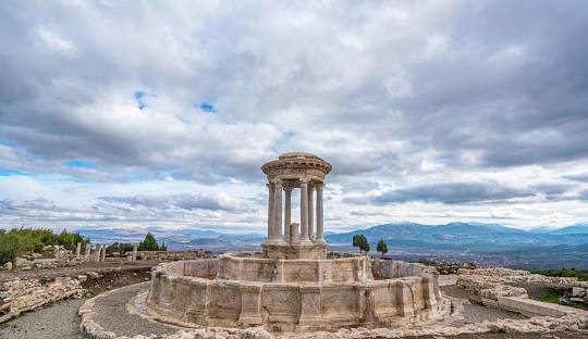
It is the district where agriculture is most effective. Beet, anise, cereals, vegetables and fruits are grown. Recently, greenhouse cultivation has become widespread. In the greenhouse, tomatoes, peppers, cucumbers, etc. summer vegetables are grown. Gölhisar Plain is a sediment plain and is irrigated with the waters of the Yapraklı Dam built on the Dalaman Stream. Dalaman Stream originates from these lands. The district of 20.000 inhabitants has a historical ancient city called Kibyra. The region harbors the most important music and folklore cultures of the Teke region.
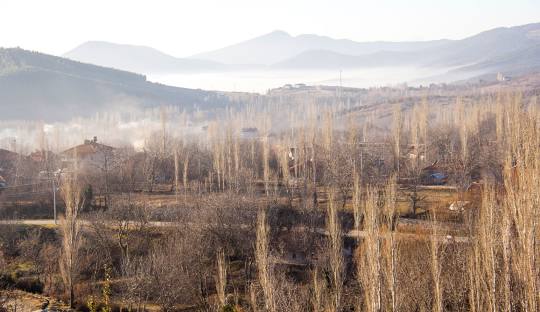
Gölhisar District is the second largest district of Burdur province, located in the southwest of Burdur province, 107 km from Burdur, 90 km from Denizli, 111 km from Fethiye and 135 km from Antalya, in the Dalaman Stream Catchment Basin at the foothills of the Western Taurus Mountains. Its average altitude is 945 meters and its surface area is 575,820 square kilometers.
Gölhisar became a district on January 13, 1953 with the merger of Uluköy and Horzum Neighborhood. It was announced on TRT Ankara Radio on the same day. It was named after the castle (fortress) built on the island in the middle of the lake 6 km away from the district.
The district is located in the middle of Burdur, Denizli, Muğla, Antalya city centers. Gölhisar is bordered by Tefenni district in the north-east, Çavdır district in the east, Dirmil district in the south, Çameli district in the west and Acıpayam district in the north-west.



Leave Your Comments