Görele
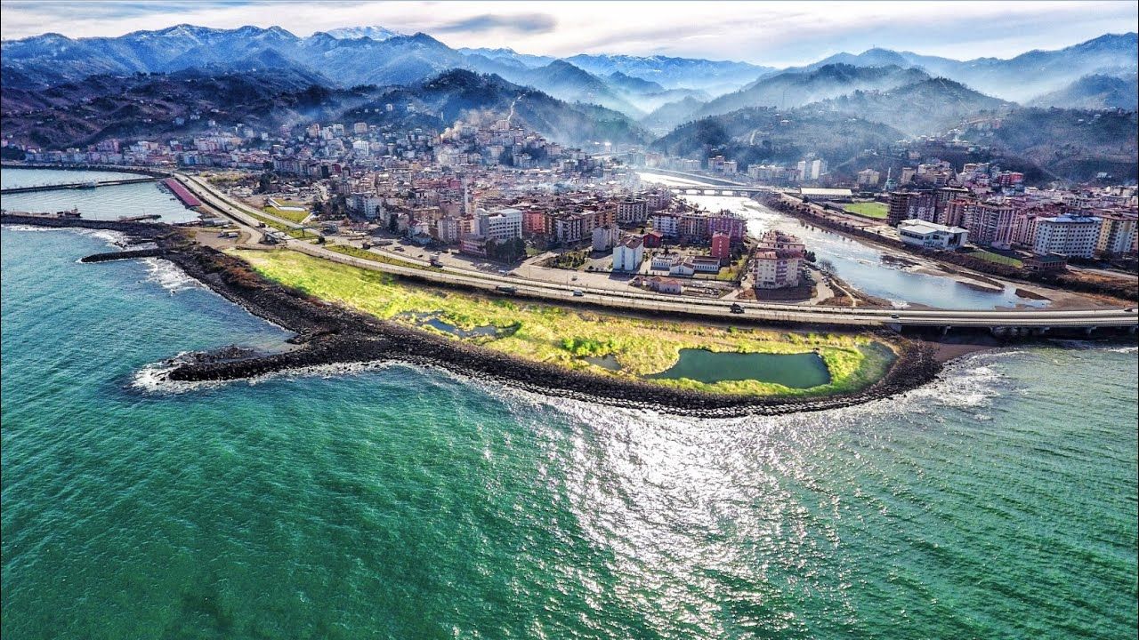
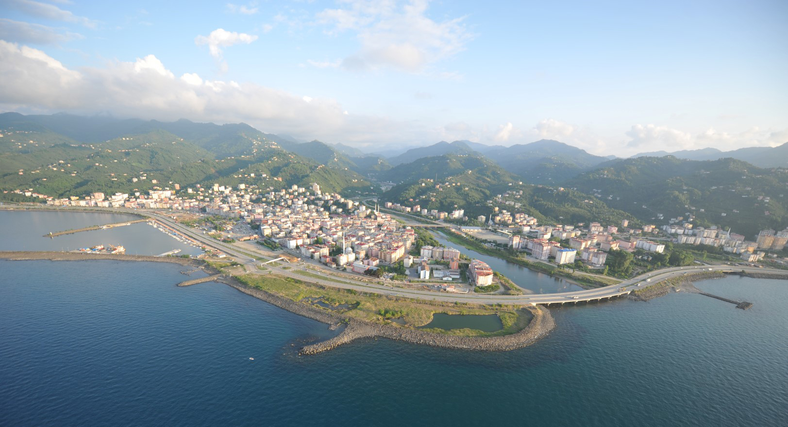
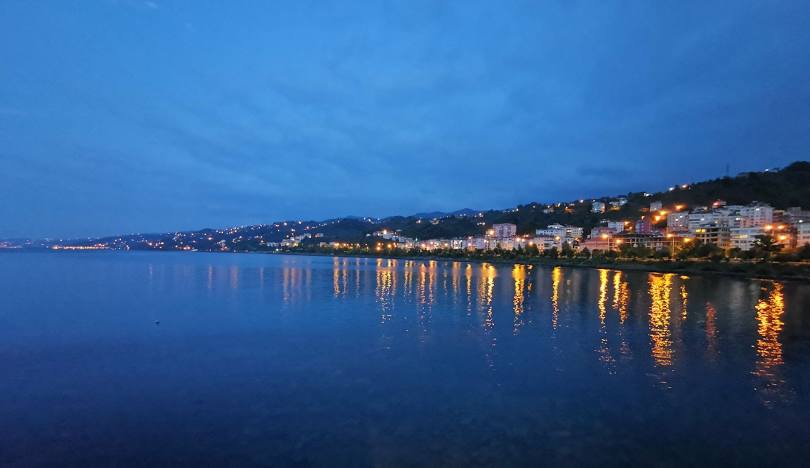
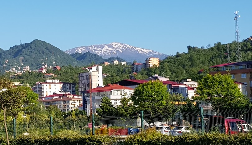
Görele is a district located in the northeast of Giresun province and on the coast of the Black Sea. The total population of the district, which is 63 km away from the city center, is 31,862. It ranks 4th in terms of population among Giresun districts. The Kanlıdere battle site on Mount Haç, where the Russians were defeated in the Russo-Ottoman War, is 6 km away from Görele city center and is a must-see place. The tomb in Kuşçulu Village and the Kuğuoğlu Süleyman Ağa Tomb in Çavuşlu are important buildings of cultural value. Hazelnut gardens in Görele district, as in the whole province, add significant richness to the texture of nature. The majority of its people consist of Turkmen/Çepni (Espiye/Tirebolu/Torul/Beşikdüzü) culture. While Giresun greeting is dominant in the central district, Horon is dominant in Görele and its surroundings. Koralla is a place mentioned in the letters written by Regional Governor Arrianus to Emperor Hadrianus. Even though this place name is compared to the Latin word "corallium" meaning "ember red", its origin is connected to Asian languages. Today, Koralla is designated as the rocky cape located just east of the Eynesil district center and the castle at its tip. In some publications, it is stated that this castle was built by the Genoese, but it is understood that today's Görele and Eynesil district centers are confused with each other. In addition, the old Koralla Castle and the settlements of Liviopolis, or Yavebolu as it is known today, are separate places from each other. Turkmens who settled in the region after the 11th century pronounced the name "Koralla" as "Görele". The castle here and the settlement just behind it were moved to where today's Görele is in 1771, following a rebellion. It is thought that there was a settlement called Philokaleia in this place in ancient times, but the exact location of this settlement is unknown. When the province of Trabzon was established in 1867 in line with the administrative reforms of the Ottoman Empire, Görele, which was within the Trabzon sanjak of this province, was first a township under the Tirebolu district and later became a district under the same sanjak. In 1894, when it was in district status, Görele's population consisted of 31,050 people. 30,150 of this population were Muslims, 694 Greeks and 214 Armenians. In 1923, it was connected to Giresun as a district. The Russian occupation, which started in 1916 during the First World War, ended in Görele and its surroundings on February 13, 1918. It is said that during this occupation, Muslims living in Maksutlu Village and its surroundings in Görele were massacred by Armenian militias supporting the Russian occupation and buried en masse in the area called Dikmetaş. In 1990, Çanakçı district was established and Görele district was divided.


Leave Your Comments