Keşap
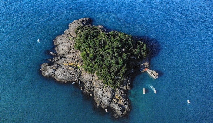
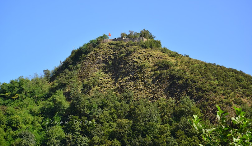
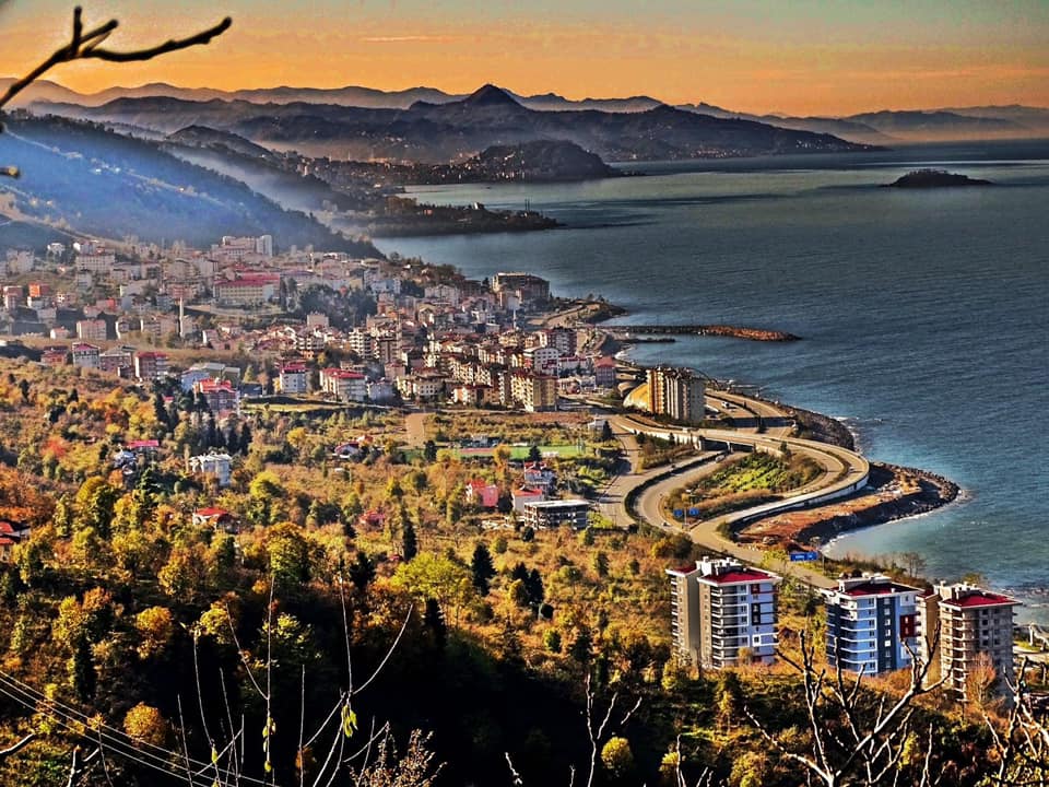
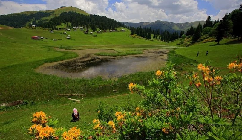
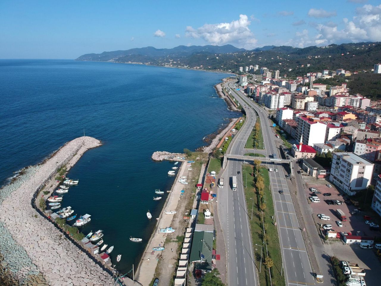
Keşap is a district of Giresun province. It is located on the coast, 10 km away from Giresun. A significant part of the local population consists of Turkmen Chepni. The history of Keşap and its surroundings dates back to before Christ. It is necessary to consider the history of Keşap together with Giresun, Trabzon and Şebinkarahisar (Vilayeti Çepni). Keşap and its surroundings were within the borders of the Persian Empire in the 6th centuries BC and the Seleucid Kingdom in the 3rd and 2nd centuries BC. It remained under the rule of the Kingdom of Pontus and later the Roman Empire between 183-68 BC. When the Roman Empire was divided into two in 395 AD, it remained in the territory of the Eastern Roman Empire, also known as the Byzantine Empire. The region was attacked by the Sassanids in the 6th century AD. The pioneer Oghuz/Turkmen/Chepnis, who started to come to Anatolia during the Seljuk and principality period, came to Keşap for the first time in 1397. Giresun and Keşap were conquered in 1397 by Emiroğlu Süleyman Bey, the grandson of Bayram Şah, the founder of the Bayramlı (Hacıemiroğlu) Principality, and were annexed to the lands of the Bayramlı Principality. After 1397, the Chepni tribe of the Oghuzs began to be influential in Keşap. However, the region is still connected to the Trebizond Empire. In 1461, while Fatih Sultan Mehmet was going to conquer Trabzon, he annexed it to the Ottoman lands. Keşap district, with a surface area of 222 square kilometers, was established on the coast 10 km away from Giresun. Giresun's center and Dereli are located in the southwest of the district, which resembles a triangle in area, while Espiye is in the east and Yağlıdere districts are in the southeast. The terrain is completely rugged. There are deep valleys between mountains and hills. The district is divided into three geographical regions: Central, Karabulduk and Yolağzı. The highest places are Geçit Köyü, Karadağ, Karatepe, Ocak, Bozarı, Armelit, Sancaklı, Töngel, Topgedigini, Demirci, Evliya and Kabak hills. Among the streams flowing into the sea, the most important ones are Kargın, Dut Yalısı, Taflan, Keşiş, Keşap, Toğzı, Kömürlük, Yolağzı, Killik, Değirmenağzı streams. Summers are hot and winters are mild in Keşap. Since it rains abundantly in every season, the annual humidity rate is on average 75%. Precipitation and humidity; It plays an important role in making plants bushy. Hazelnut trees have the largest share in the lush and lush vegetation. These cover an area of nearly 10,000 hectares. Hazelnut trees, which are the dominant vegetation of the coast, exist up to an altitude of 700 meters. After an altitude of 700 meters, forest areas begin.



Leave Your Comments