Marmaris
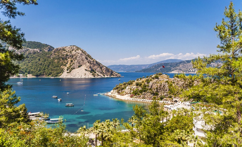
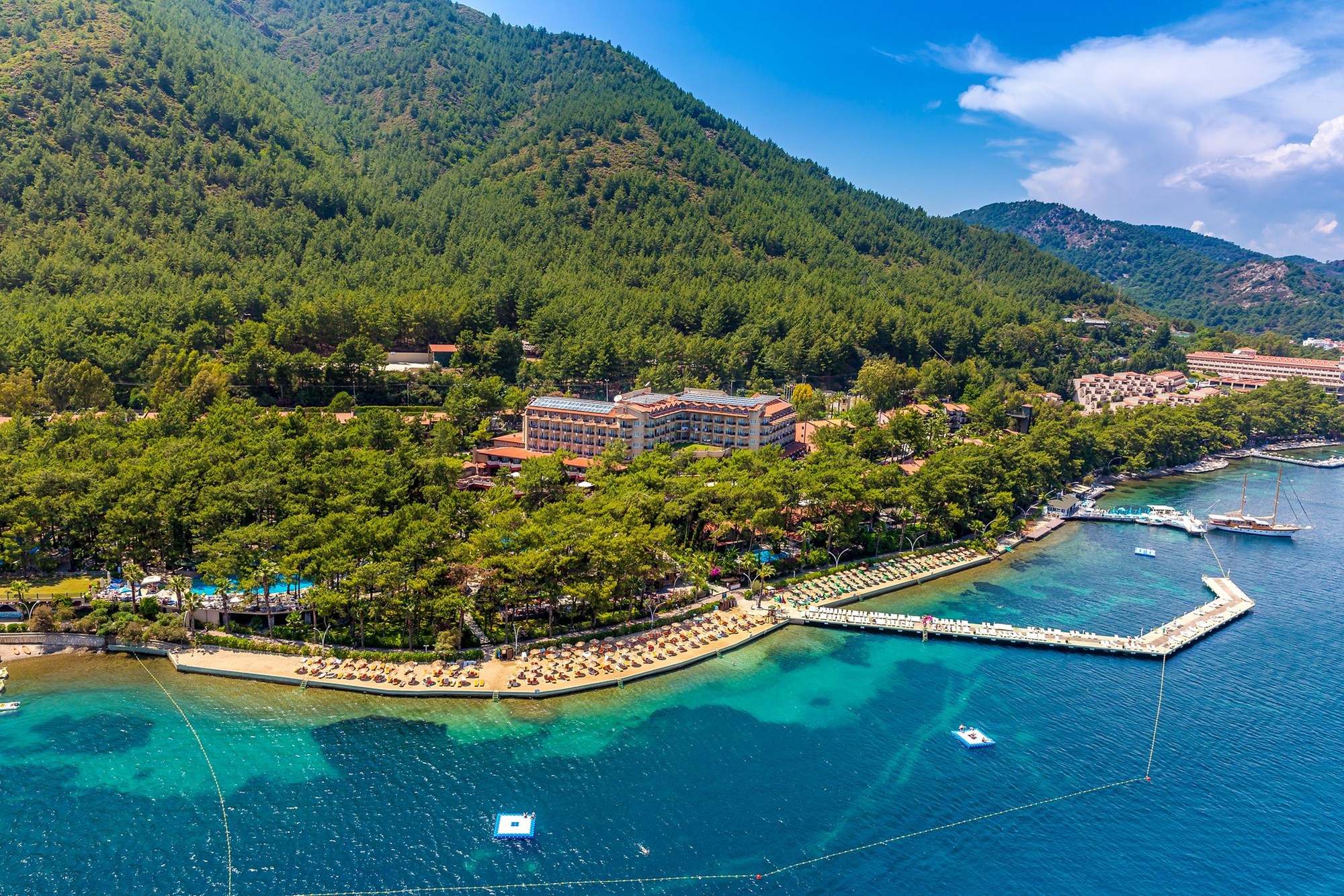
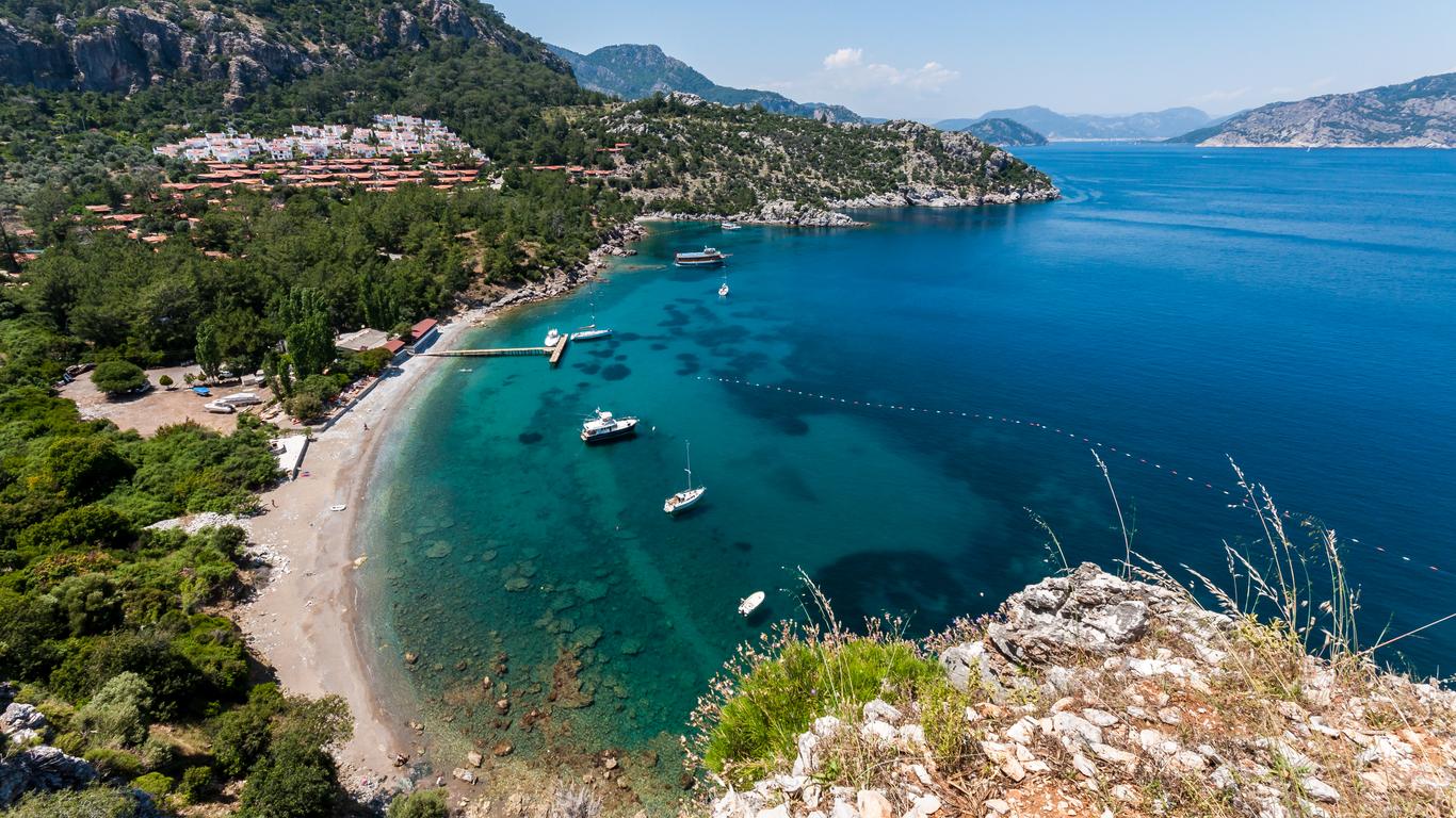
Marmaris is surrounded by the Datça Peninsula and Kerme Bay in the west, Ula in the north, Balan Mountain, Karadağ and Günde Hills in the east, and the Mediterranean Sea in the south. In front of the bay, there is Adaköy, which is connected to the shore by a thin tongue, and in front of it are Sedir Island, Goat Island and Güvercin Island. The oldest part of the city is the Kale District, built on a hill extending towards the sea. Marmaris later developed towards the foothills and along the coast. Dalaman Airport, via air transportation, is only an hour away. Rhodes is only 45 minutes away. In the district where the Mediterranean climate prevails, summers are hot and dry, and winters are relatively warm and rainy. Due to the orographic location of the mountains, Marmaris is one of the regions with the highest rainfall after the Black Sea Region of Turkey, and the annual rainfall is over 1200 mm. Floods and floods may occasionally occur in the district due to heavy rains during the winter months. During the passage of frontal systems in winter, thunderstorms (lightning and thunder) are observed quite frequently. The period between May and September is not very rainy and is very dry. Due to the temperate effect of the sea, frost is very rare during the winter months. Although snowfall occurs on high mountain slopes, it rarely falls on coastal areas.


Leave Your Comments