Ortaköy
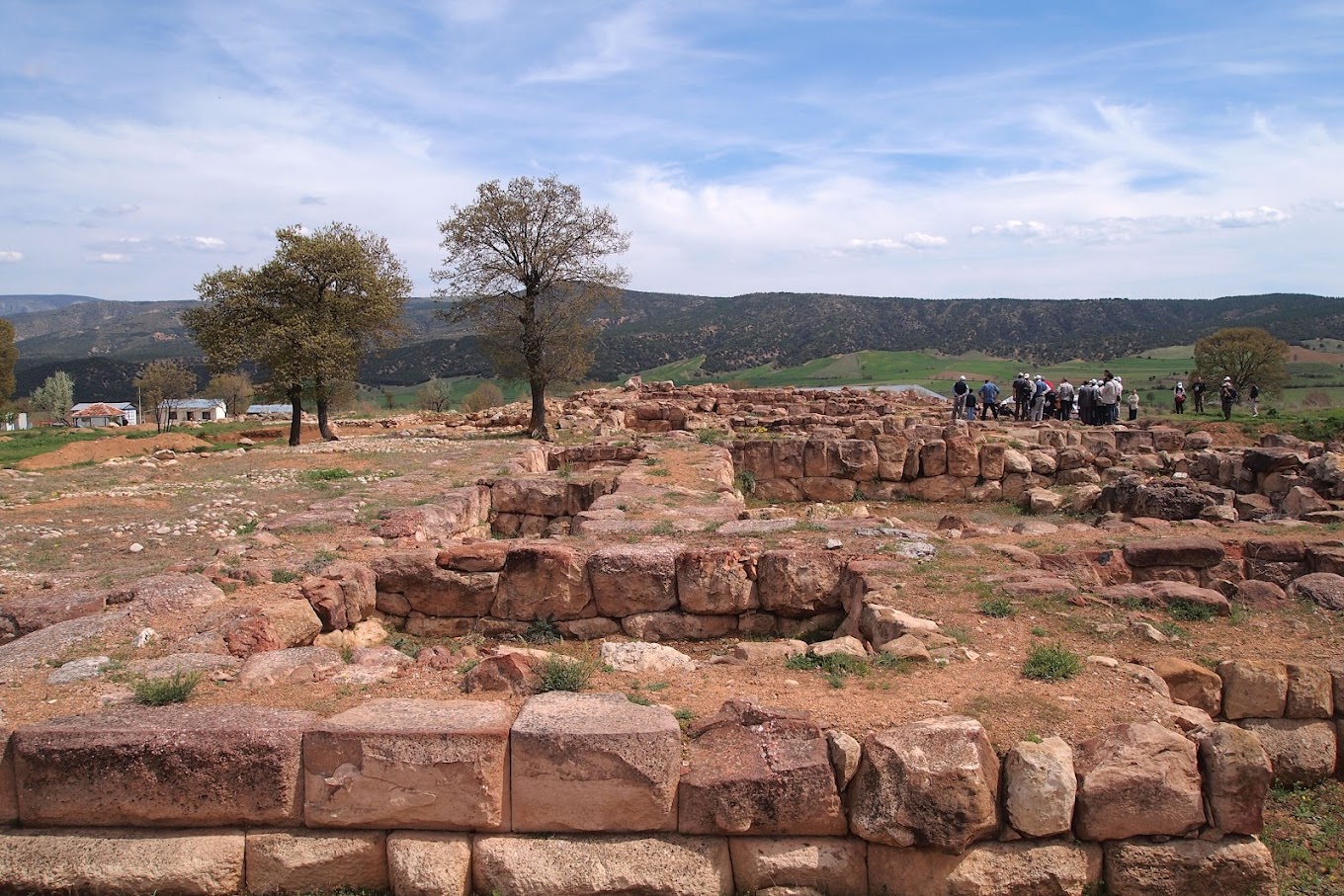
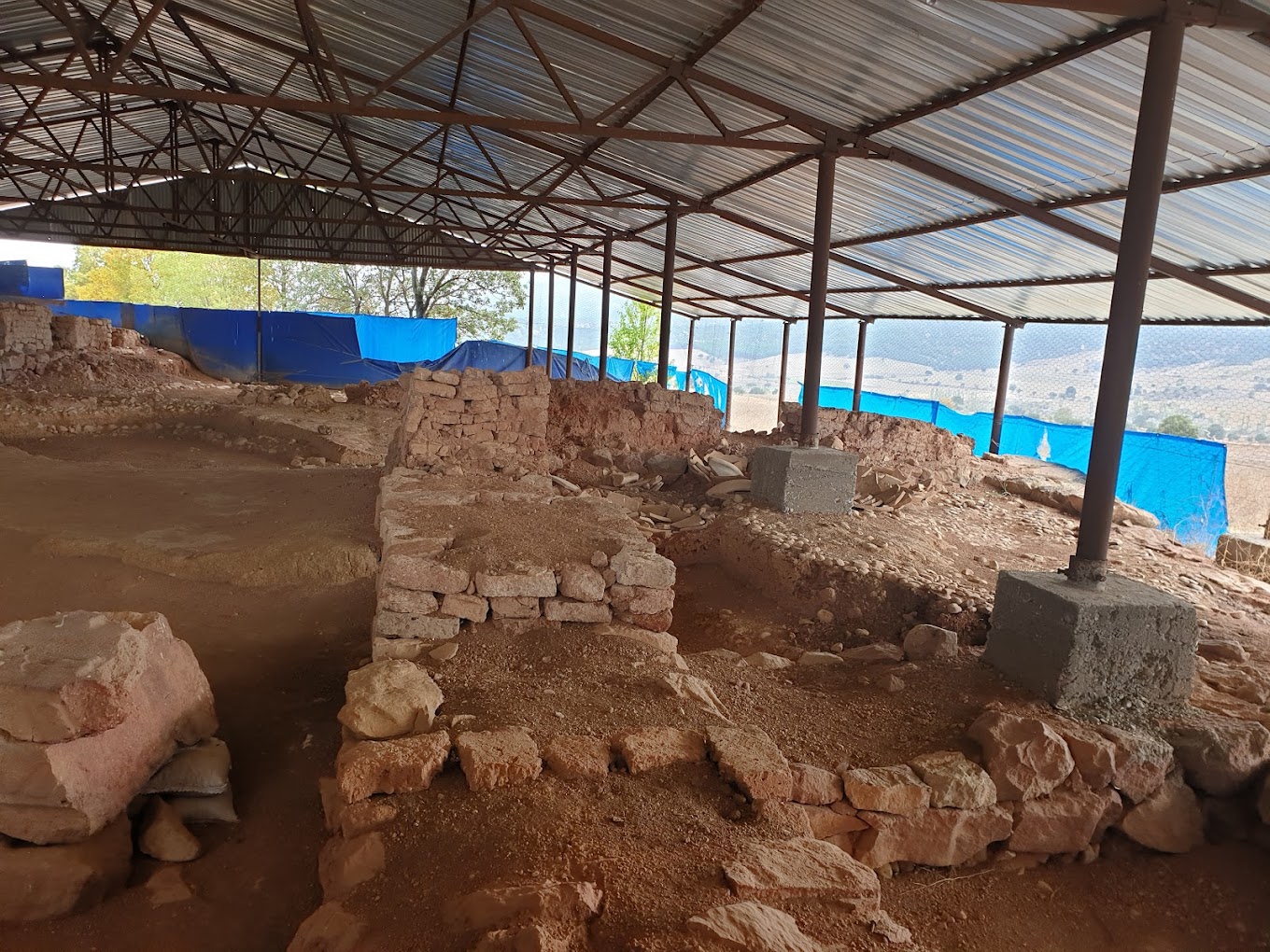
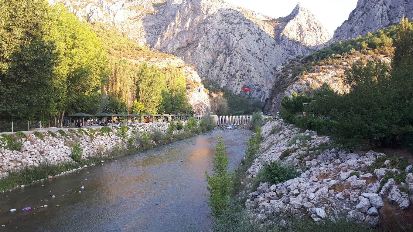
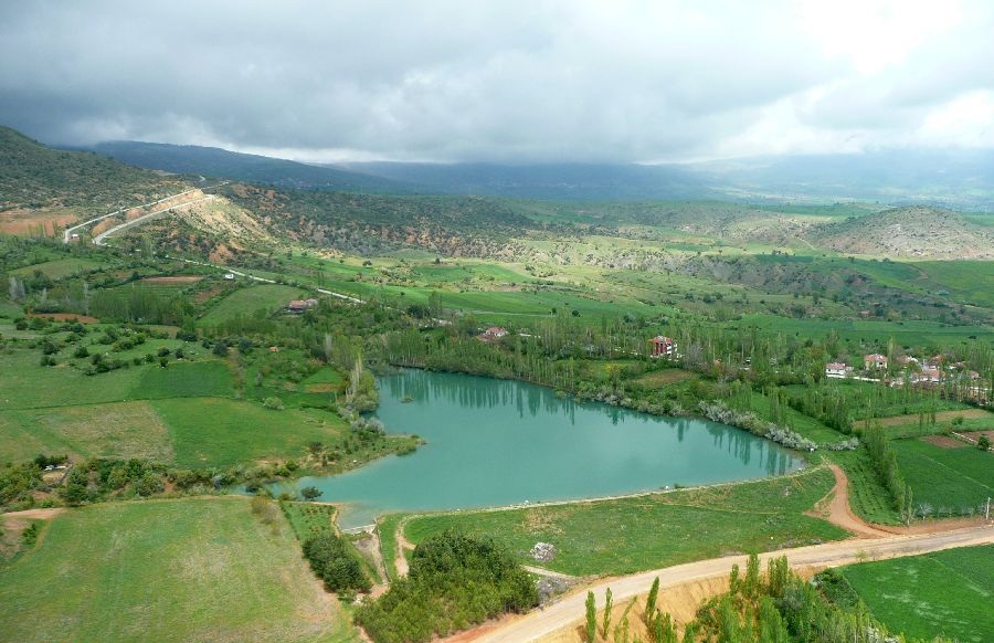
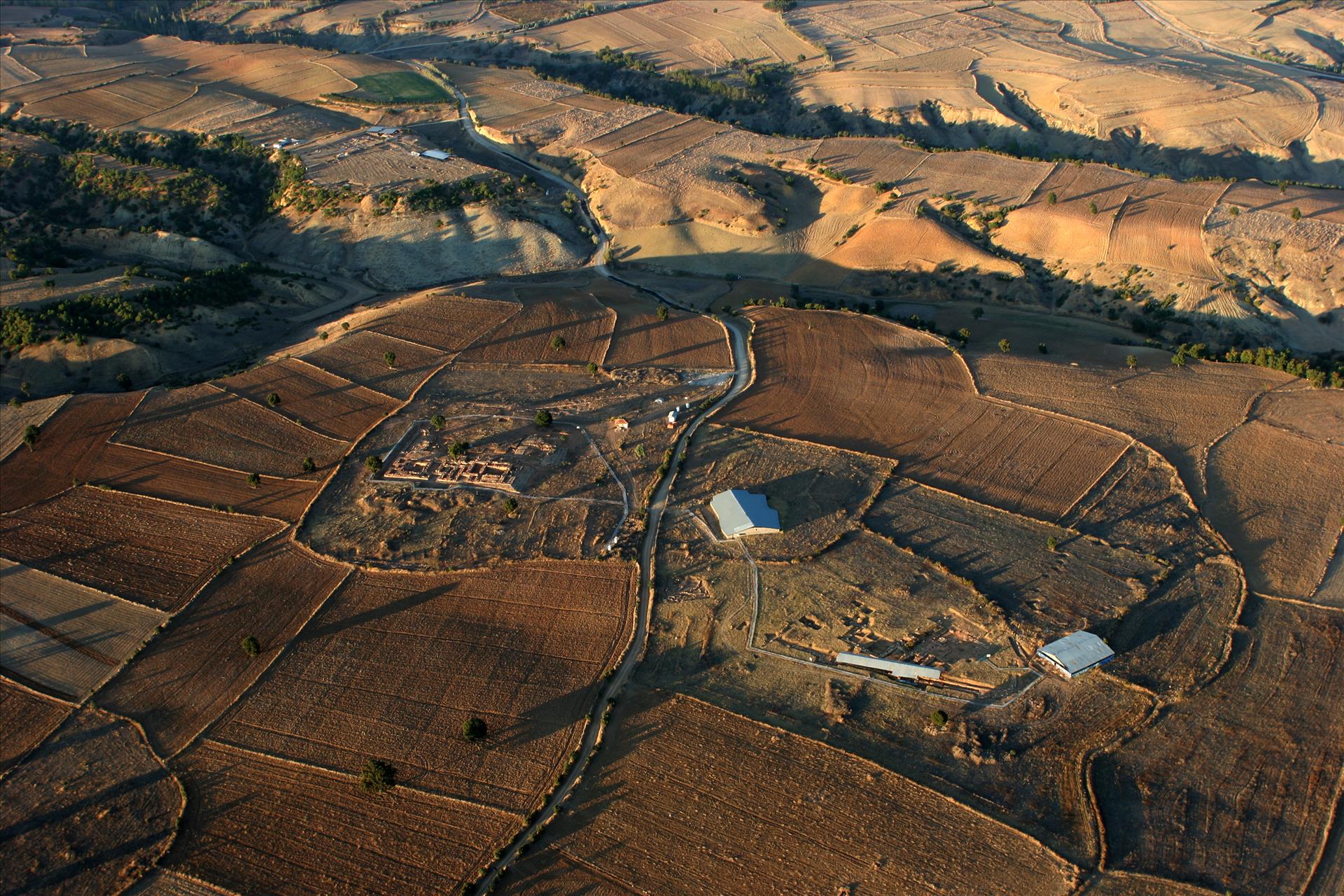
Ortaköy is a district of Çorum province. Approximately 53 Km from Çorum city center. It is located in the southeast. It is one of the districts of Çorum full of natural beauties. İncesu Canyon, Karlıca plateau and Aşdağul cave are among the natural beauties worth seeing. In addition, Şapinuva ruins, where important data about the Hittite civilization were obtained, should also be seen. The exact date of establishment of Ortaköy district is not known. Turks coming from Central Asia settled in the region in three tribes. They chose Asraköy, located in the northeast of the district center, and Pınarköy, located in the west, and the district center as settlement areas. Ortaköy got this name because it is located between these two villages. Pınarköy and Asraköy merged with Ortaköy to form Ortaköy. Ortaköy became a district on April 1, 1959. It is located between 40' 11¨ 38¨ and 40° 27' 21¨ northern latitudes and 35° 03' 47¨ and 35° 35' 01¨ eastern longitudes. The district is located in the transition zone between the central Black Sea region and the Central Anatolia region. It is a district center 53 km southeast of Çorum province. Region; It is located in the area where the borders of Çorum, Amasya and Yozgat provinces intersect. The district is located in the north of Central Anatolia, at the end of the Kelkit valley, which is located in the south of the Black Sea mountains and is an entrance route to Anatolia from the Caucasus direction. There is Amasya in the east and Yozgat in the southwest. The terrain throughout the district is rugged and mountainous. Ortaköy is surrounded by mountains from the north, south and west. The highest point is the Mundar Gölbaşı hill on the Karadağ massif, which extends in the northeast-southwest direction to the west and north. The mountains in the south of the district are one km away. In the north, there is the Çal mountain range. The plateau area where the region is located is fragmented by an extremely dense valley network. This plateau, which is quite wavy, is very fragmented by rivers and their secondary tributaries. The highest altitude of the district is 800 meters and its surface area is 238 km2. The altitude of the district center above sea level is 700 meters. Fığla hill is 1081 m. The highest peak of Gündoğdu Mountain is 1383 m. is in height. The annual average temperature in the district center is 10.8 °C. The lowest average temperature in the region is January with 0.8 °C, and the highest month is August with 20.4 °C. Continental climate prevails.


Leave Your Comments