Pazar (Tokat)
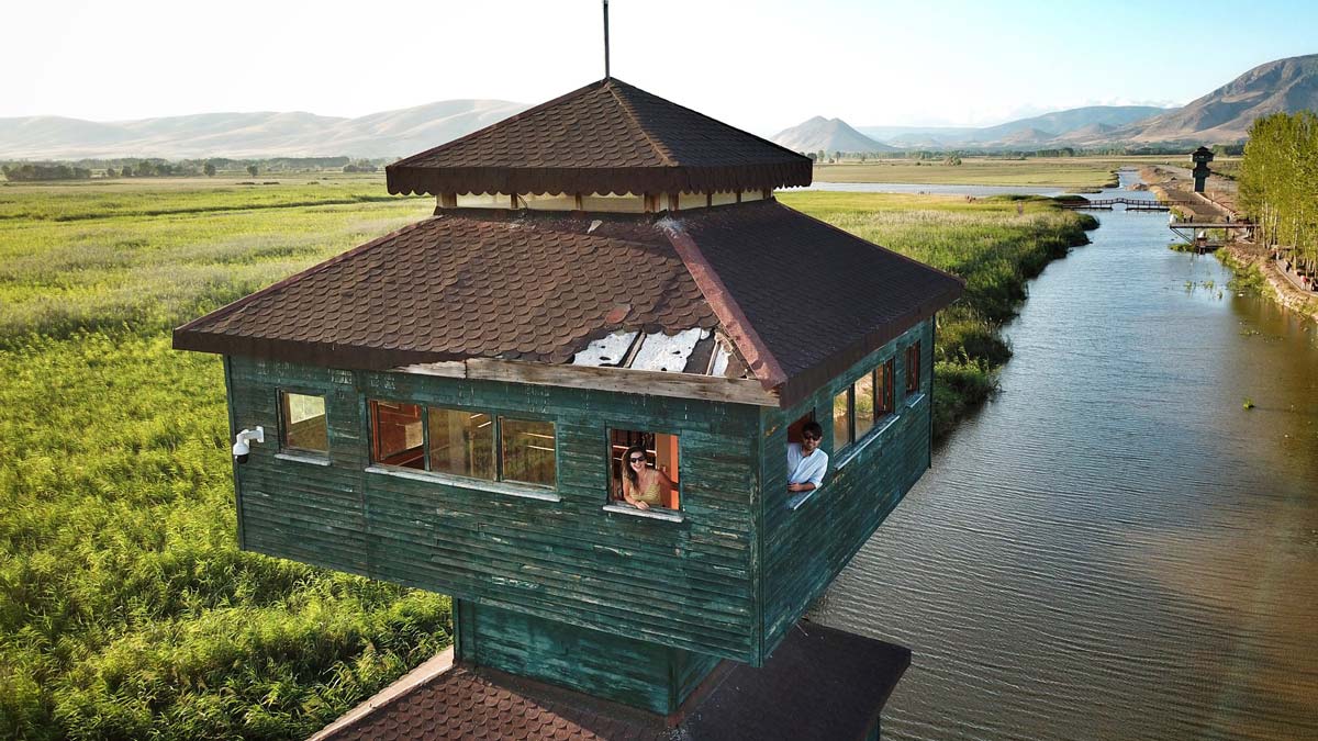
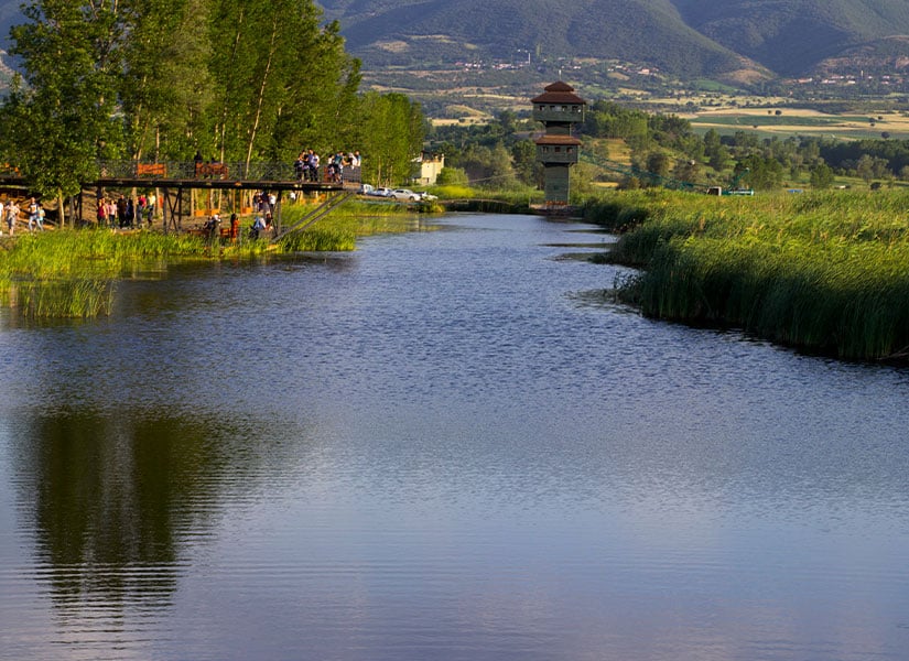
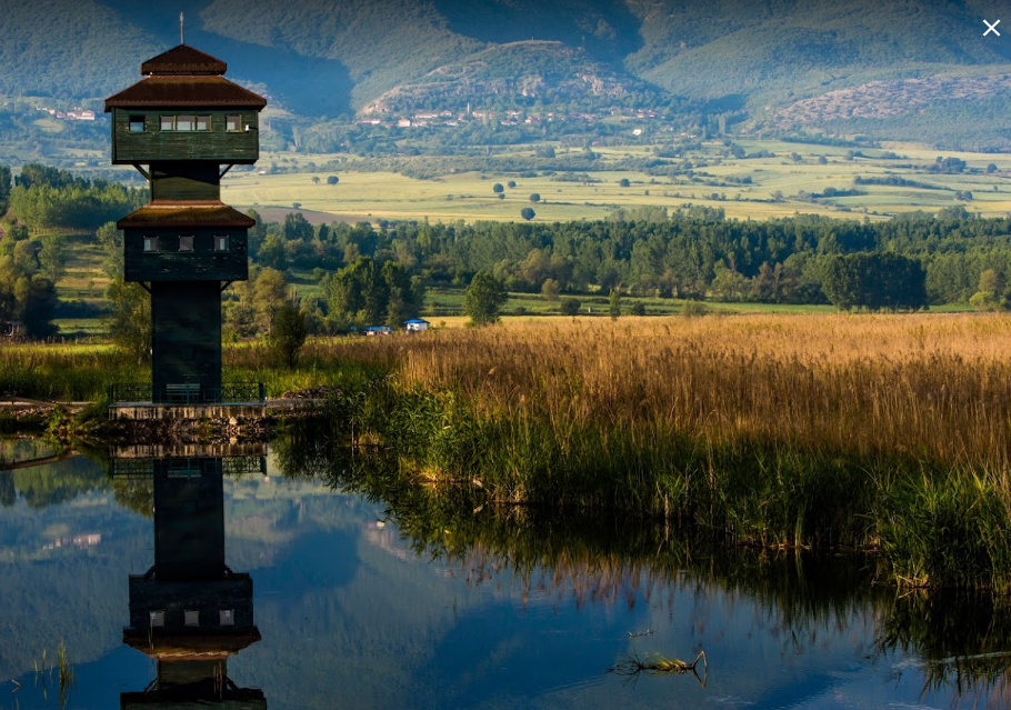
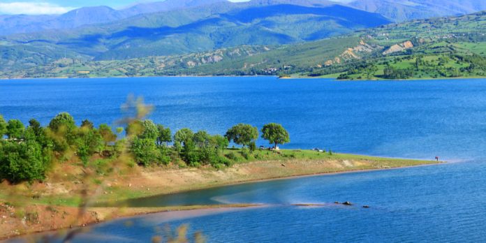
Pazar is a district of Tokat province. Kazova (Kazabad) region was on the King's Road in ancient times and was called Dazimonitis. Although the exact location of Kazabad Town, which is the most important settlement in the region, is not known exactly, Pazar, which is said to be very close to here, was called İnepazarı until 1520 and after this date, it was named Ezine Pazarı. It was mentioned as Eski Aynapazarı in Evliya Çelebi's Travel Book written in the 17th century. Pazar, which was also known by its old names during this period, gained its final name in 1903. The region, which came under Seljuk rule with Melikşah I in 1073, came under Ottoman rule in 1399 after changing hands between various principalities. While it was previously a sub-district center of Turhal district, it became a town by receiving municipality status on July 28, 1956. Pazar gained district status with the law published in the Official Gazette dated 04.07.1987 and numbered 19507. The market is located on Kazova, west of Tokat city center. It is 25 km away from the city center. The district's surface area is 276 square kilometers. Its altitude is 623 meters. Tokat city center is located in the east, Turhal district in the northwest, Zile district in the west and Artova district in the south. There are mountain ranges extending in the east-west direction in the south of the district, and Yeşilırmak and Kazova in the north. There are two towns and fifteen villages in the district. Pazar district is located in the transition zone between the Black Sea climate and the continental climate of Central Anatolia. A significant part of the district's land is irrigated by Yeşilırmak. There are approximately 10 artificial hills (mounds) within the district borders, and of these, Endiz Mound, located on the eastern side of the district, dates back to the Hellenistic Period. At the eastern exit of Pazar, there is a caravanserai built in 1238 by Mahperi Hatun, the first wife of Alaeddin Keykubad I, during the Anatolian Seljuk State period, and 3 km away, there is a cut stone bridge built on Yeşilırmak, also known as Tavukçu Bridge, dating back to the same period. According to the inscription on the eastern entrance of the mosque, Halil Bey Mosque, also known as the "Friday Mosque" among the people in the district center, was built in 1334 by Hacı Mehmet, the son of Hüseyin, during the time of the Ilkhanid ruler Ebu Said Bahadır Khan. Due to its name, there is the Halil Bey Bath, which dates back to the same period as the mosque and is still in use. There is an old plane tree, estimated to date back to 1884, right in front of the bath. Beyobası Bath, which is currently in ruins at the western exit of the district, was built by Hacı İvaz Pasha in the first half of the 15th century. Also in the district center is the Hacı Sinan Mosque, which dates back to the Ottoman Period and was built by Hacı Sinan bin İbrahim in 1534. Ballıca Cave, 7 kilometers south of the district center, whose age is determined to be approximately 3.4 million years, has a special position among its counterparts in the world with its size and geological features. Right next to the cave is Ocaklı Waterfall. Kaz Lake Wildlife Development Area has a lake ecosystem and is a seasonal stopover for local and migratory birds.





Leave Your Comments