Sarıcakaya
Sarıcakaya is a district of Eskişehir province.
During the Ottoman period, it was connected to the Göynük accident of Izmit Sancak, and then it was connected to Söğüt in 1884. During the Republican period, it was connected to the central district of Eskişehir in 1944 and became a district centre of Eskişehir in 1958. In 1990, it reached its present borders with the separation of Mihalgazi.
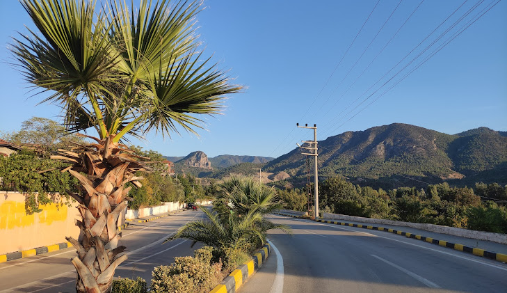
The district, which is located on the banks of the Sakarya River, is 47 km from the city centre. Sarıcakaya district is bordered by Yenipazar in the northwest, Göynük in the north, Nallıhan in the east, Mihalgazi and İnhisar in the west, Alpu and the central district in the south. The district, which is 220 m above sea level, has a "microclimate" climate system different from the Central Anatolia Region and remains in the Black Sea Region. In this respect, it resembles Mediterranean climate characteristics.
The economy of the district with a population of approximately 5.700 is based on agriculture. Vegetable and fruit cultivation is highly developed. Fifty per cent of the district land is covered with forests.
The district is rich in marble. However, the existing marble quarries are not operated because they are not economical. While there were 8 villages and 1 town in Sarıcakaya district, all of these settlements were transformed into neighbourhood status with the Law No. 6360, which entered into force on 31.03.2014, and currently there are 14 neighbourhoods in total, 5 of which are in the district centre.


Leave Your Comments