Sarız
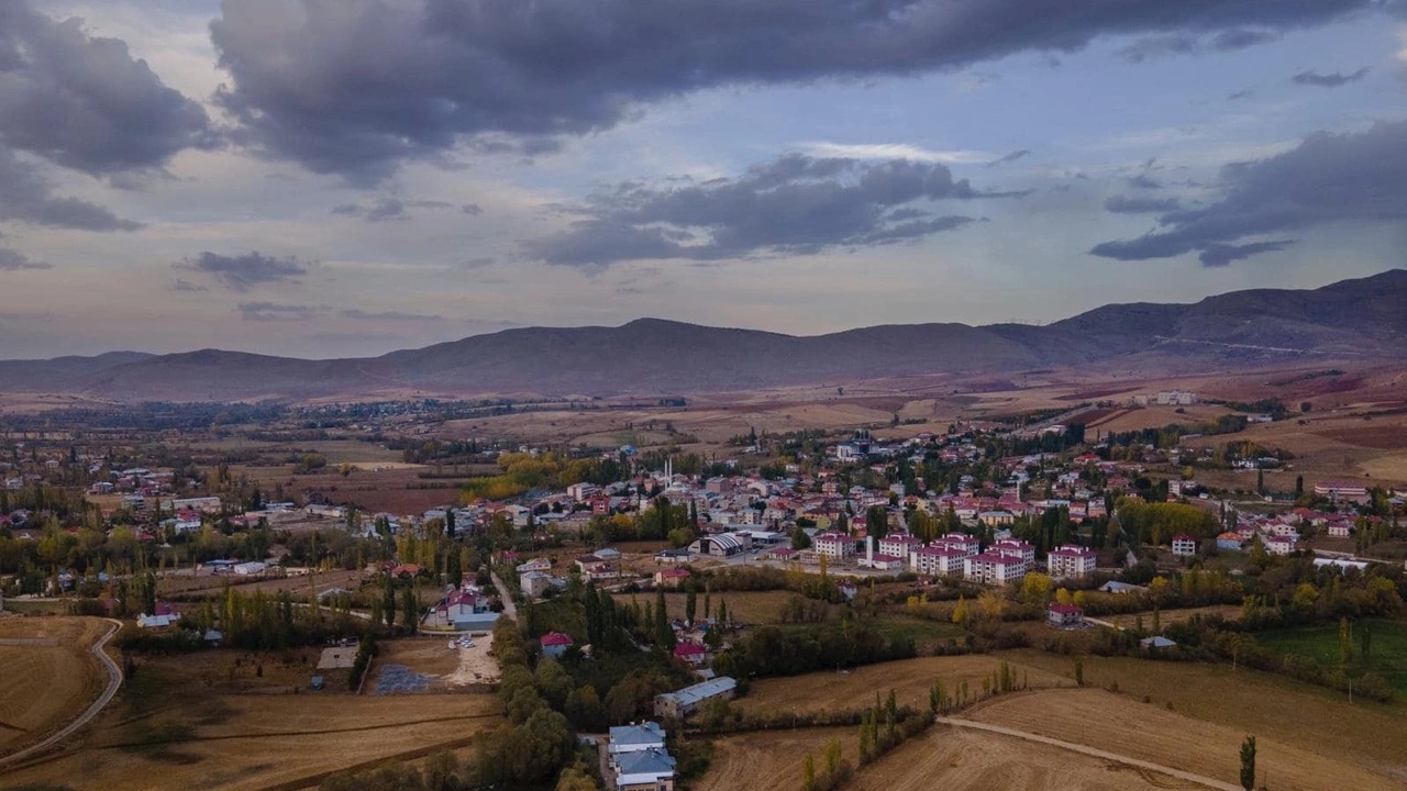
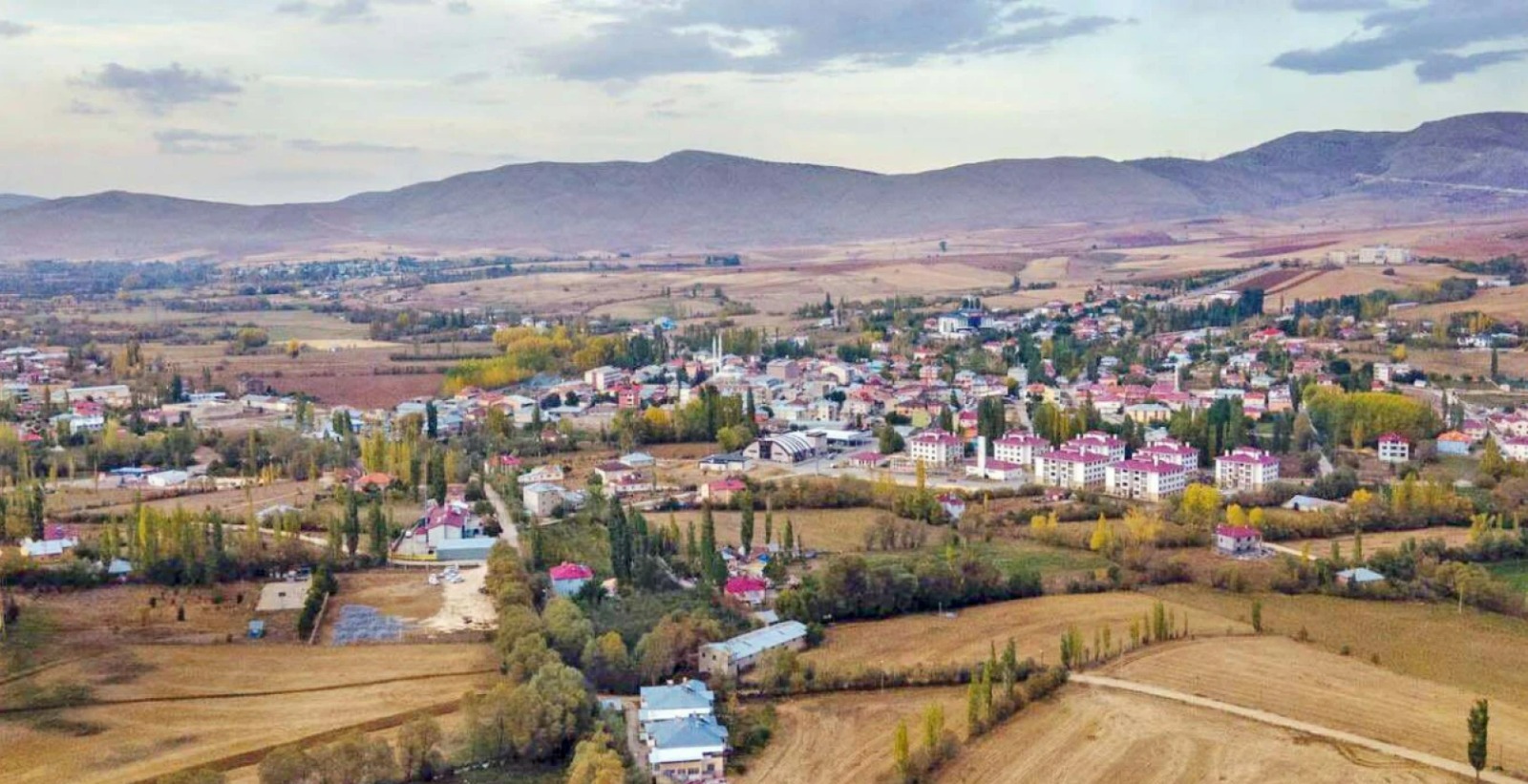
Sarız is a district of Kayseri province. It is a district where Turkish rug culture is kept alive. It is one of the rare water resources of Turkey with its natural spring waters. It is stated that the history of the district dates back to ancient times, back to the 700s BC. Cilicia remained under the rule of the Byzantine Empire and the Dulkadiroğulları Principality, and was included in the Ottoman Empire in 1515 during the reign of Yavuz Sultan Selim. The settlement, which was shown to be affiliated with Hurman township of Elbistan district in the 16th century Ottoman records, was recorded as a township of Aziziye township, which was created in 1861. During this period, the center of Sarız was called "Köyyeri". In the records of 1910, it is stated that Sarız, which was a township, had 46 villages. The Municipality organization was established on July 30, 1914, when the request of the Governor of Sivas at the time was approved by the Ministry of Internal Affairs. It left Sivas in 1927 and was connected to Kayseri. In 1946, it was separated from the Pınarbaşı district to which it was affiliated and became an independent district. Sarız district is located 128 km east of the city centre. Geographically, it is located at the intersection of the Central Anatolia Region, Eastern Anatolia Region and the Mediterranean Region. Sarız is surrounded by Tomarza and Pınarbaşı districts of Kayseri, Gürün districts of Sivas, Tufanbeyli districts of Adana, Afşin and Göksun districts of Kahramanmaraş. The district's surface area is 1410 km² and it is 1530 meters above sea level. The district is surrounded by Tahtalı Mountains in the west, Binboğa Mountains in the east, and Soğanlı, Koçdağı and Masat Mountains in the north. The district's economic and geographical structure is based on agriculture and animal husbandry. Sarız district has continental climate conditions. Winters in the district are very cold, rainy and harsh, and summers are dry and cool. In 2003, the average highest temperature was 33 degrees and the lowest temperature was -24.1 degrees. The vegetation of the district consists of keven, porcupine grass and wild couch grass, and is occasionally covered with juniper, oak and short shrub forest. There are not many plants in the mountains due to intense erosion and low soil depth. Its main stream is Sarız Stream, a tributary of the Seyhan River. In the district; There is a cosmopolitan population consisting of Turkmen, Kurdish, Zaza and Circassian communities. The entire Armenian population that used to live in the region emigrated. Sarız experienced a significant population increase due to the migrations in the 19th century, and by 1945, 16,145 people lived in Sarız township and 622 people lived in the sub-district center called Köyyeri.



Leave Your Comments