Saruhanlı
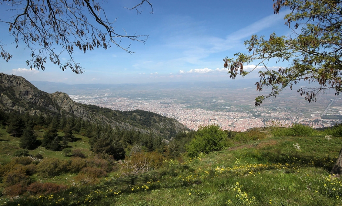
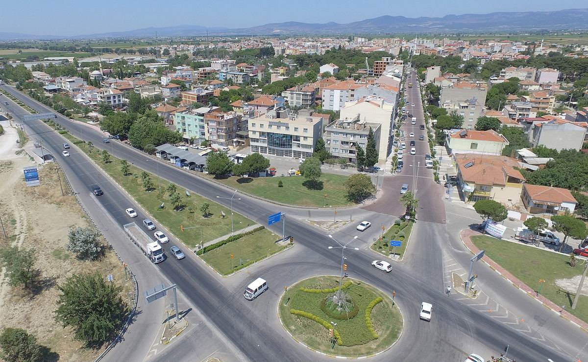
Saruhanlı is one of the districts of Manisa province in the Aegean Region of Turkey. The general population of Saruhanlı, which was established at an altitude of 43 m above sea level, is 56,523 and the population in the center is 14900. The district, which has a surface area of 890 km², has 50 neighborhoods. Saruhanlı, which was a village with 150 households during the Ottoman period, became a district of Manisa in 1956. The majority of the district's population consists of immigrants from the Balkan Peninsula. Most of the people in the district earn their income from agriculture. Seedless grapes, cotton and corn products are mostly grown in the region. Saruhanlı is located in the Gediz plain, which is a flat and fertile land. Kumçayı, an important tributary of the Gediz River, passes through the edge of the district. The district is 19 km away from Manisa and 33 km away from Akhisar, on the Izmir - Istanbul state highway connecting the Aegean Sea to Istanbul. The railway connecting the West to Anatolia divides its territory into two and extends towards Central Anatolia. Saruhanlı's surface area is 890 km² and its altitude is 43 m above sea level. The district is surrounded by Akhisar and Gölmarmara from the north and northeast, Kınık - Bergama from the west, Turgutlu and Ahmetli from the south, and Manisa from the southwest. It is under the influence of the Mediterranean climate. Although the exact founding date of Saruhanlı is unknown (1313-1437), it is thought to have been founded during the Saruhan Principality period. The first settlers in the region came from a nomadic tradition. They gradually got used to settled life and started to engage in agriculture. After the Treaty of Sevres, the Greeks first occupied Izmir and then Manisa (26 May 1919). Due to the great resistance of the Saruhan people, they were able to enter only fourteen months later in June 1920. Turkish immigrants from the Balkan countries and the east began to be settled in the region liberated from occupation on September 7, 1922. There was a constant migration to the region because Saruhanli lands were fertile and empty. This migration continued until the 1960s. 73% of the population lives in 14 town centres, including the city centre, and the rest lives in villages. 60% of Saruhanli population consists of Balkan immigrants, 35% is local people, and 5% is citizens migrating from the east and southeast. Its population increases temporarily during the agricultural season due to workers coming from outside.


Leave Your Comments