Sincik
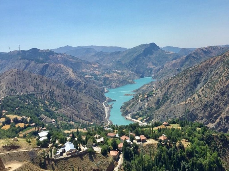
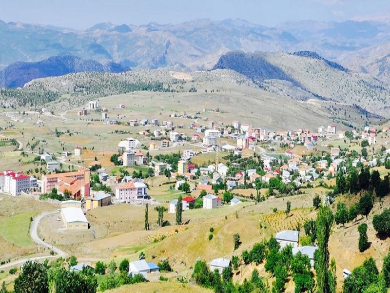
In the first ages, many states established sovereignty in Adıyaman and Kahta region, where Sincik was located. Hittites, Hurrians and Mitanis. They ruled this region in 1600-1000 BC. 69 AD After the Kingdom of Commagene, which was established in this region in 72 years, the Roman Empire, Byzantine Empire, and then the Seljuk and Ottoman Empires dominated Sincik and its surroundings. Until 1954, it remained a sub-district of Malatya. Sincik district is located 70 km northeast of Adıyaman. It is surrounded by Malatya in the north, Pütürge in the east, Gerger in the south, Kahta in the southwest, Adıyaman in the southwest, and Çelikhan in the west. Our district has an altitude of 1325 meters. The altitude of the district increases from south to north. It is formed on the mountains and hills in the southern part of the eastern Taurus Mountains. The highest mountain of Sincik is the Türk Mountain in the north (1608 m). The Nemrut Mountain, on the other hand, is located in the east of Sincik and is closer to Sincik than Kahta as a bird's eye view. Steppe climate characteristics prevail in Sincik. Winters are very cold and snowy and summers are very hot and dry in the district. Although the summers are hot, there is a partial coolness due to the high altitude. Kıran, Aksu and Yarpuzlu (Birimşe) teas in Sincik. Our district is located in the first degree earthquake zone on the fault parts of the Eastern Anatolian Fault Line extending from Hatay to Mersin. The area of the district is 364 km2. This amount has a percentage of 4.78 within the area of the province.


Leave Your Comments