Soma
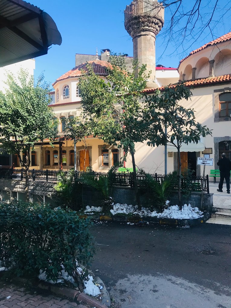
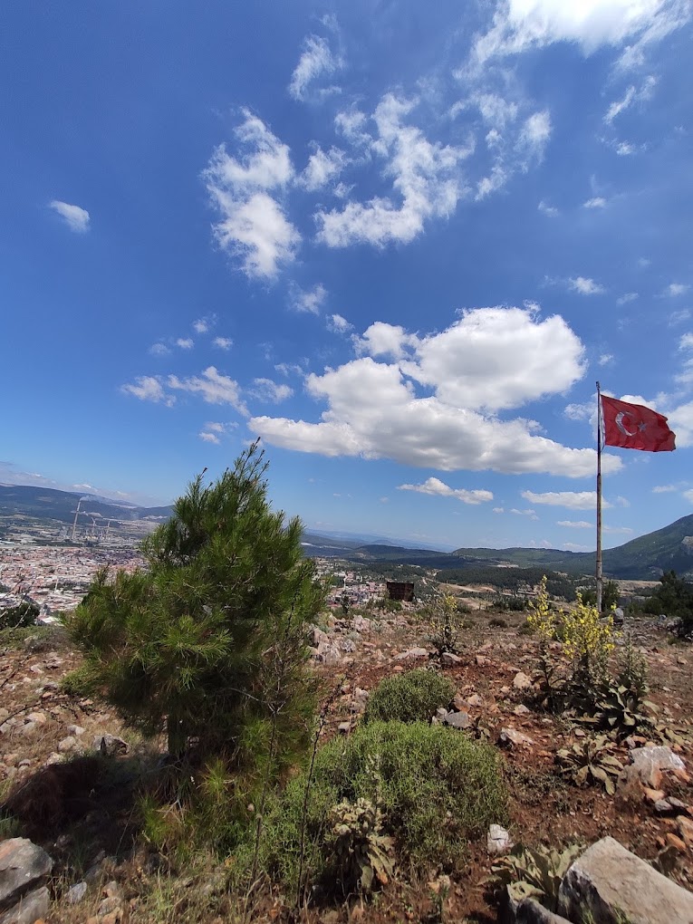
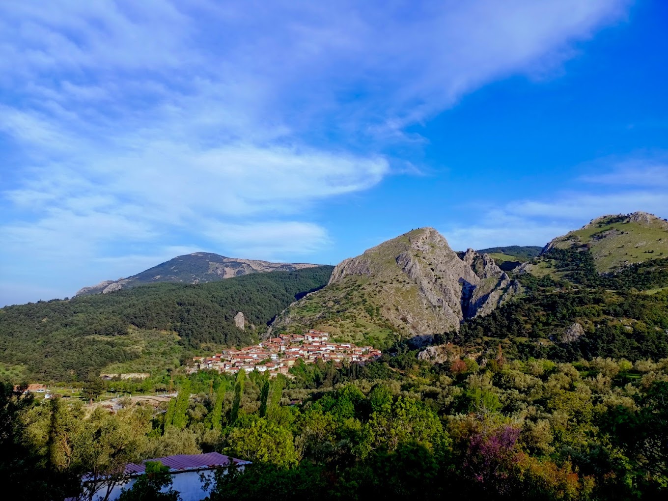
Soma is located at the foothills of the Yunt Mountain range. It is on one of the most active fault lines in Turkey, also called the Savaştepe fault line, which starts from the Pamukçu town of Balıkesir and extends to Bergama. Soma's tahini halva and walnut Turkish delight are famous and it is known for its mines. There are many mines containing lignite coal. It is also said that the name of Soma district comes from the "sumac" plant, and there are rumors that it gradually changed from Somaklı to Soma. It is the northern gate of Manisa province. It borders Balıkesir's Savaştepe and İvrindi districts from the north. Akhisar municipality of Manisa's Akhisar district is located in the south, and Kırkağaç district is located in the east, making Manisa neighbors with another province. Soma, Kınık and Bergama districts in the west and the district center of Soma, which is 135 kilometers away from İzmir, are at the junction of Kırkağaç-Kınık-Savaştepe highways and on the Bergama-Akhisar highway and the İzmir-Bandırma railway. In its climate, summers are hot and dry and winters are warm and rainy. The newly built Istanbul - Balıkesir - Izmir highway passes through Soma.


Leave Your Comments