Varto
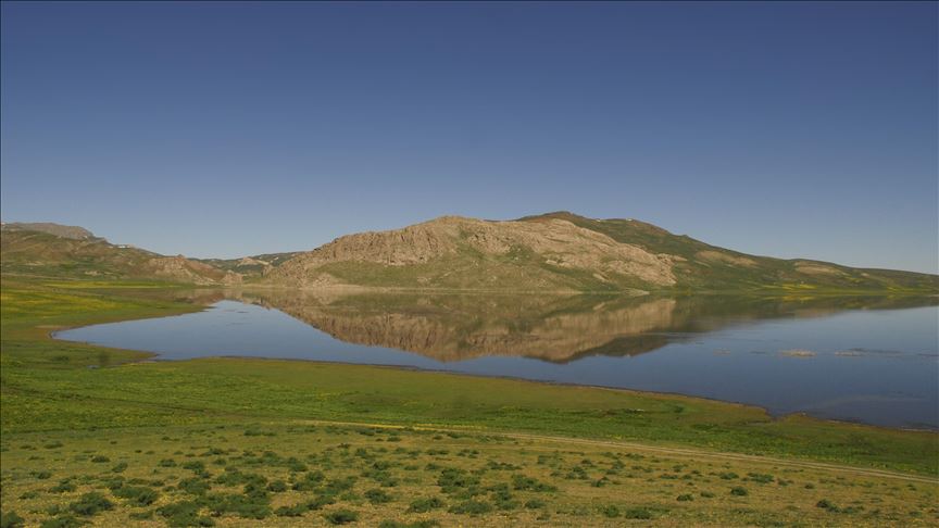
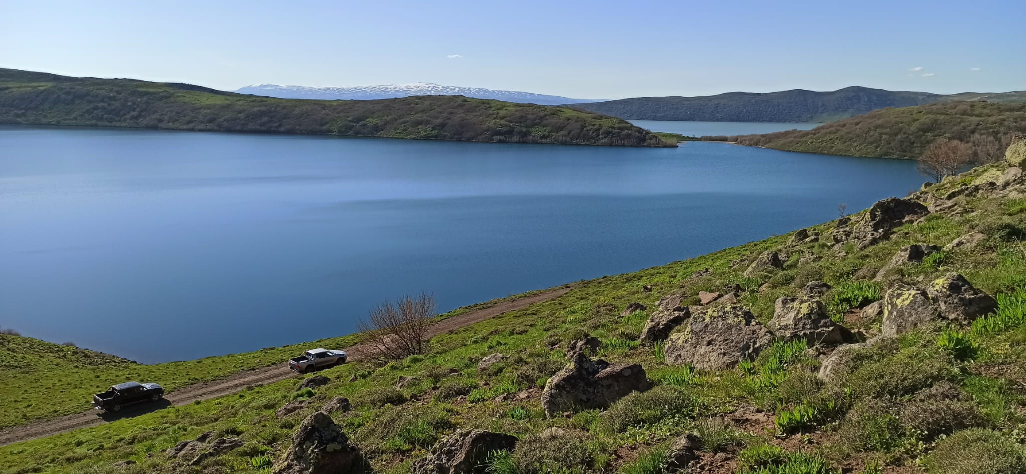
Throughout history, the Varto region was under Medes, Persians, Parthians, Romans and Byzantine rule, respectively. After the Battle of Manzikert in 1071, it remained under the rule of the Seljuk Dynasty, and later the Akkoyunlular and Karakoyunlular. It came under Ottoman rule with the Battle of Çaldıran in 1514. With the establishment of the Republic of Turkey in 1923, it became a district by taking the name Varto with the approval of the Turkish Grand National Assembly. Varto is also known as Gimgim. Varto district is located in the northwest of Muş province area. It is surrounded by Erzurum province and Hınıs and Tekman districts in the north, Solhan and Karlıova districts of Bingöl province in the west, Bulanık district of Muş province in the east, and Merkez district in the south. Its surface area is 1418 km². It covers 17.3% of Muş's surface area. The district area, which is generally covered with mountains, is also located in the highest part of the Muş province area. The northern part of the district is surrounded by the extensions of the Bingöl Mountains. The altitude exceeds 3000 m at the northern border of the district, towards the Bingöl Mountains, and 2500 m in the extensions of the Akdoğan and Şerafettin Mountains.[5] The district area is deeply fragmented by the Murat River, Bingöl Stream and the branches of these two rivers. Murat River enters the district area from the east. It flows in the east-west direction as if it forms a natural border with the Central District. It receives the Bingöl River in the west of Kayalıdere village and leaves the district area by turning south with an elbow. Akdoğan Lake is in the east of the district. Just south of this lake is Küçük Hamurpert Lake. Varto district center and many villages are on the earthquake fault line. Varto experienced two major earthquakes, the first in 1946 and the second in 1966. (2,118 people lost their lives in the earthquake in 1966. The center of Varto was completely destroyed in this earthquake.) The population of Varto in the 1985 census was 44,116. It is the fourth largest district of Muş both in terms of surface area and population. In addition to the population loss due to deaths during the earthquake in 1966, Varto also suffered population loss due to migration, as most of the buildings in the district center and villages were destroyed. Varto district has 93 villages. The most important source of income for the people in Varto is agriculture, as is the case throughout Muş. The main agricultural products are grains, including wheat. Apple and pear production is important. Varto is developed in terms of animal husbandry rather than plant production. It is the second important district of Muş after the Central district in terms of sheep and hair goat population.


Leave Your Comments