Yağlıdere
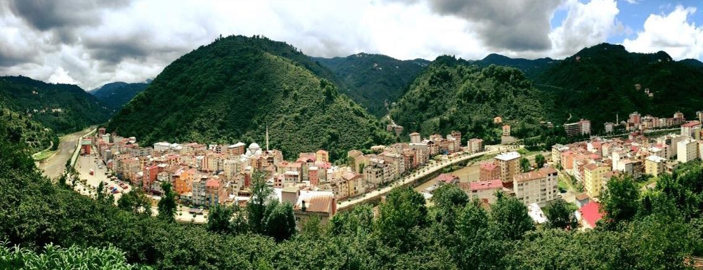
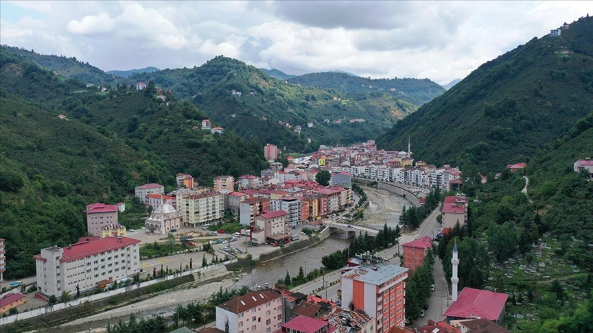
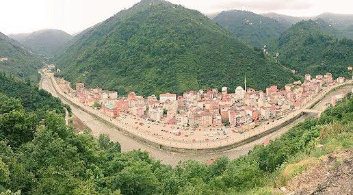
Yağlıdere is a district of Giresun province. The majority of the district's population consists of Turkmen Chepnis. It neighbors Espiye in the north and east, Alucra and Şebinkarahisar in the south, and Keşap and Dereli districts in the west. The altitude of the district, which is established 14 km inland from the sea, is 50 m. The district took its name from Yağlıdere, next to which it was founded. This name comes from the Greeks who produced milk and oil in the plateaus of Çakrak Village, where the stream originates. The stream around which oil is produced is called Yağlıdere. The region came under Turkish rule in the late 11th century. As a result of the Crusades, Eastern Roman domination begins. It was part of the Trabzon Empire between 1200 and 1400. Starting from the 1400s, the population of Chepni Turks began to increase. Ottoman rule begins with the conquest of Trabzon by Mehmet the Conqueror. The Greek population continued to reside in the district until the 1920s. In 1811, the Yağlıdere settlement began to form when the surrounding people built a Cuma mosque on the banks of the stream. Other tradesmen opened shops next to the mosque and this area turned into a marketplace. With the development of this market called Camiyani, the village was formed. The village of Tirebolu in the 19th century became a subdistrict of Espiye in 1957. It became a town by receiving municipal status on February 29, 1972. Yağlıdere district was established in 1987. After 2000, Ahallı, Akdoğan, Kızılelma and Kurucalı villages; Tepeköy in 2008; When Akdarı and Oruçbey villages were connected to the district as a neighborhood in 2013 and Ömerli village in 2019, the total number of neighborhoods in the district increased to 12.


Leave Your Comments