Zile
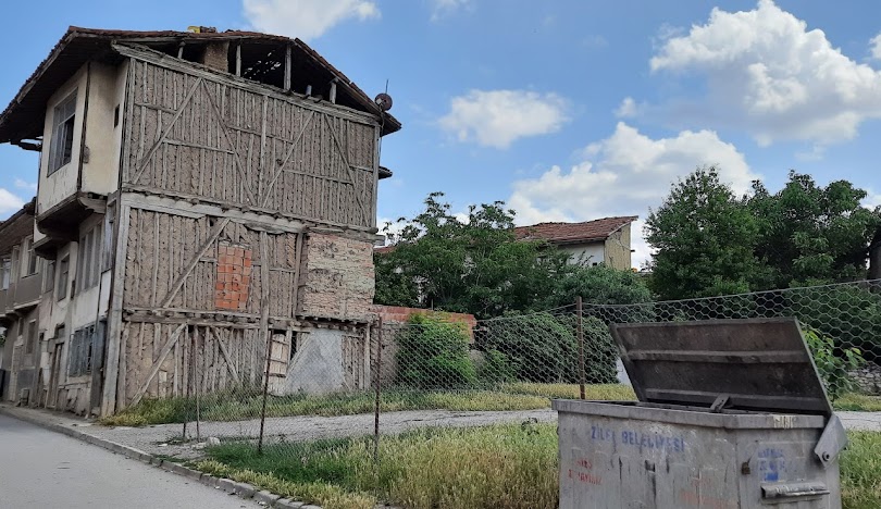
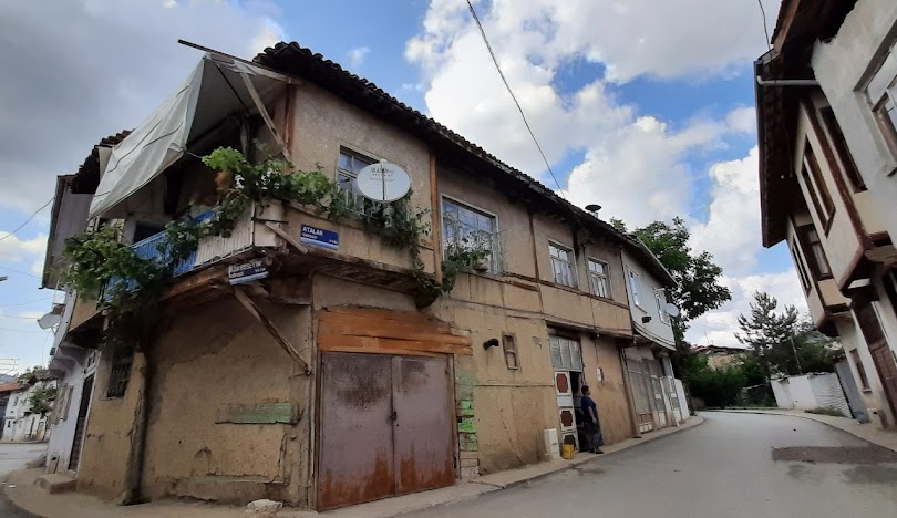
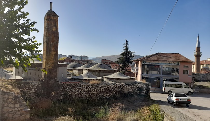
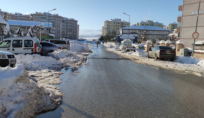
Zile is a district located 67 km west of Tokat province. There is Turhal district 20 km east of Zile district, Artova district and Kadışehri district of Yozgat province to the south, Çekerek district of Yozgat province and Göynücek district of Amasya to the west, and Amasya province to the north. Due to its geographical location, Zile district is located between 40 degrees 19 minutes north latitude and 35 degrees 45 minutes east longitude. Tokat province, to which Zile is affiliated, is located in the Central Black Sea part of the Black Sea Region. The province's territory lies between 35° 27' and 37° 39' eastern longitudes and 39° 52' and 40° 55' northern latitudes. It is surrounded by Samsun from the north, Ordu from the northeast, Sivas and Yozgat from the south, and Amasya from the west. Traffic code number is 60. It is 66 km away from Tokat city center and is one of the oldest settlements in Anatolia. Amasya street, one of the oldest settlements in Anatolia, is located in Zile. Zile's urban textures consist of old and new textures. Zile Plain, named after the district, is located in the northwest of the district center. It is claimed to be the place where Julius Caesar uttered the words "Veni, vidi, vici" meaning "I came, I saw, I conquered". Zile covers an area of 1,512 square kilometers (584 sq mi) and has an altitude of 710 meters (2,330 ft).bTurhal, Çekerek, Artova, Kadışehri and Amasya are towns near Zile. The district is mostly surrounded by the fertile plain called Zile Plain, through which Yeşilırmak passes, and harvesting can be done twice a year. In the south of the district are the Deveci Mountains (1,892 m / 6,207 ft high), Güvercin Çalı and Hüseyin Gazi Hill. Zile once had a large forest that covered most of the plain, but in the 1950s the city lost much of this forest due to overbreeding of goats and the use of wood for heating. However, there is a recent study for reforestation planning in the region. Zile's water needs are met by the Çekerek River flowing from Zile to Çekerek and the Büyükaköz dam built on the Çatak River. Süreyyabey Dam and Hydroelectric Power Plant is under construction and will provide electricity and water for irrigation in the region. Zile's weather is affected by the moist narrow coasts of the Black Sea Region in the north and the low-rainy Central Anatolia Region inner plateau and cold winters in the south. Summers are mild and slightly humid, and winters are snowy and cold. The weather is hot during the months from June to September, with the average summer maximum being 28 °C (83 °F) and the average minimum being 13 °C (56 °F). The weather is cold during the months from December to February, as the average winter maximum is 7 °C (45 °F) and the average minimum is as low as -3 °C (27 °F). It is usually rainy in April, May, June, November and December. Historically, coal was mined in Zile. Zile's main economic activities are agriculture, trade and animal husbandry. Zile is a grain production center, one of the largest exporters of wheat, barley, lentils and common vetch in the Black Sea Region. Zile is famous for its grape, roasted chickpea, cherry and fruit gardens. The annual Cherry Festival is very famous in Tokat, Sivas and Yozgat. The people of Zile use their grapes to make molasses, not wine. Students of Tokat Gaziosmanpaşa University Zile Dinçerler School of Tourism and Hotel Management play an important role in the economic activities of the city. Zile industry is developing rapidly. Since 1996, there has been a great movement from agriculture to industry. Anatolian Tigers established 55 factories whose main products are textiles, sugar beets, furniture, tomato sauce, roasted chickpeas, marble and shoes. The Municipality and the European Union have signed a joint project to increase Zile's tourism potential and transform the city into a tourism destination. The project is financed by the EU and includes advertising as well as education of local people about tourism.


Leave Your Comments